FIELD ARCHIVE • KLAMATH BASIN CATALOG

Local History Archive

Every dispatch documents a specific place, era, and geographic coordinate across the Klamath Basin—paired with high-resolution aerial stills and 4K YouTube flight reels.

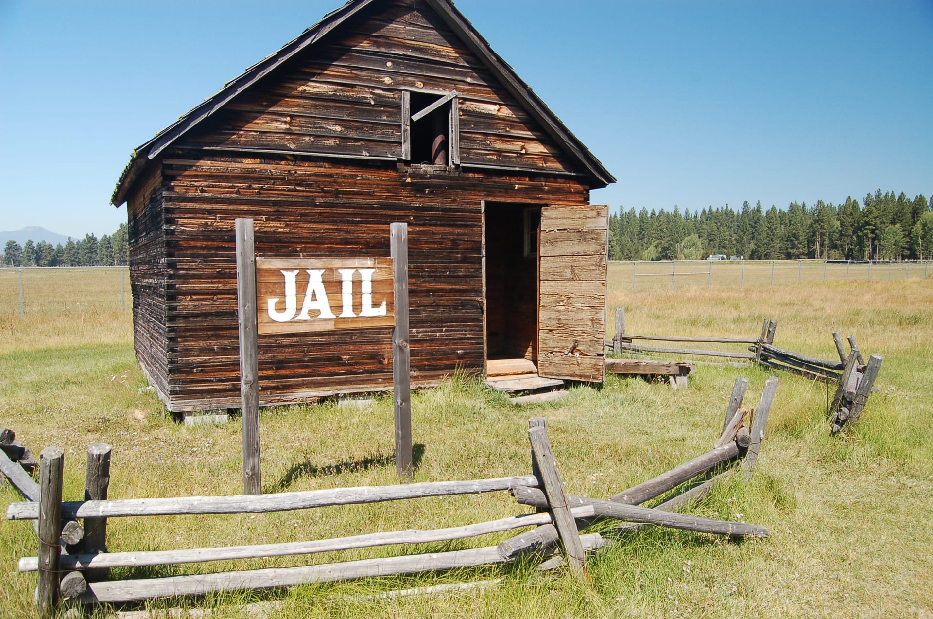
ENTRY KB-009 42.3917° N, 121.0433° W
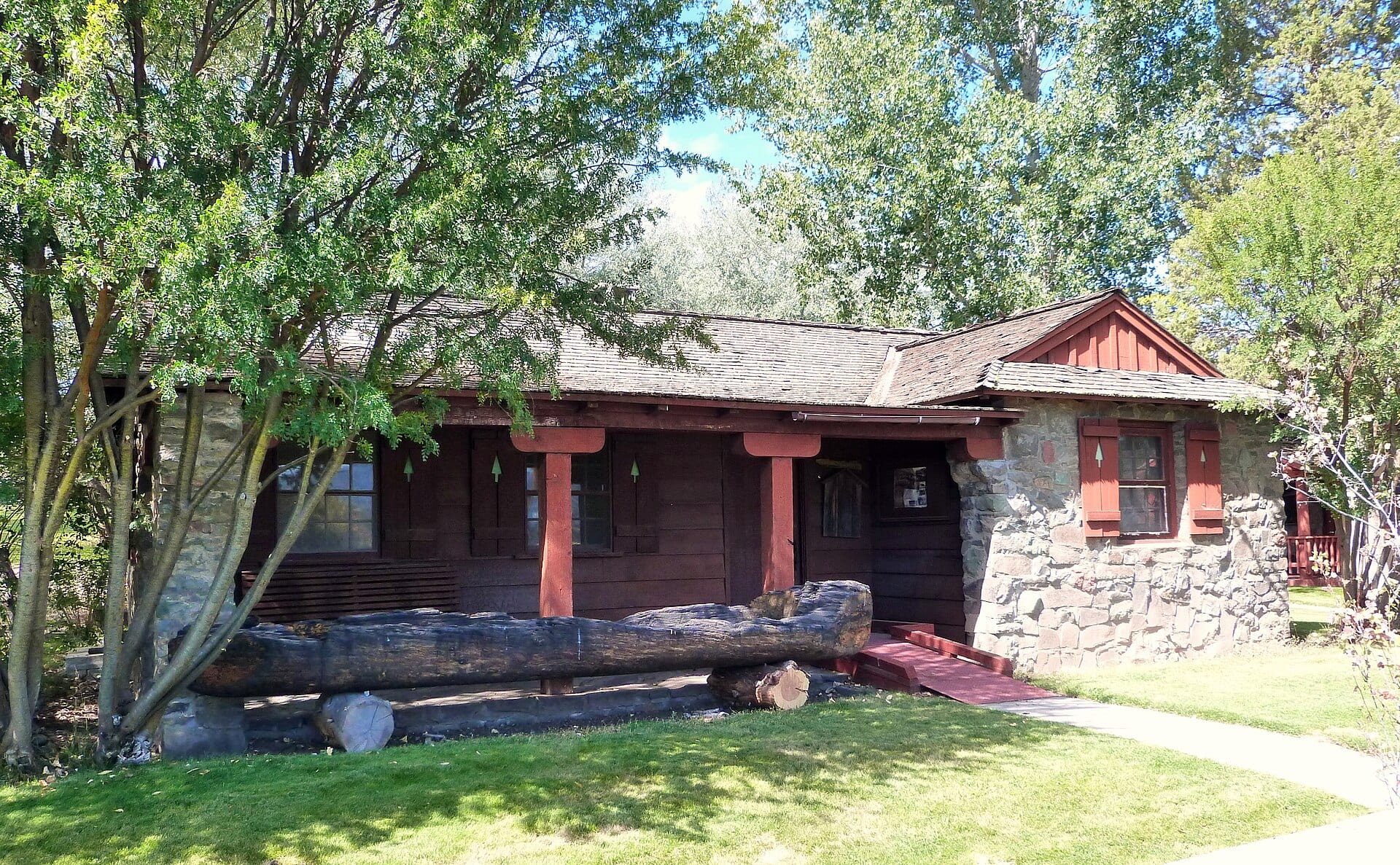
PLATE IX — Historic 1936 CCC-era Bly Ranger Station Office built of native basalt stone and timber in Bly, Oregon. ERA: 1870s – 1950s

Bly & the Sprague River Valley

Set along the Sprague River at the foot of Gearhart Mountain, Bly evolved from a pioneer ranching outpost and OC&E railroad terminus into a historic logging hub—and the site of a somber World War II milestone.

ENTRY KB-018 42.6170° N, 121.3750° W
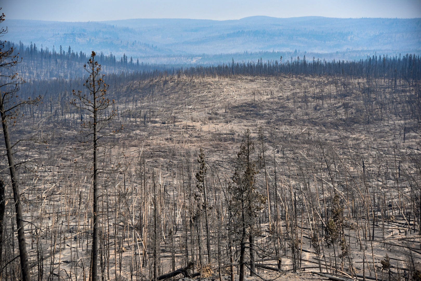
PLATE XVIII — Stark swath of toppled timber left by the July 18, 2021 fire tornado during the 413,765-acre Bootleg Fire in the Fremont-Winema National Forest. ERA: Ancestral – Modern Megafire Era

Wildland Fires in the Klamath Basin

Fire has always shaped the Klamath Basin's ponderosa pine forests and sagebrush steppe—from frequent low-intensity indigenous burns to a century of suppression and catastrophic 21st-century megafires like the Bootleg and Two Four Two fires.

ENTRY KB-014 42.2338° N, 121.7827° W
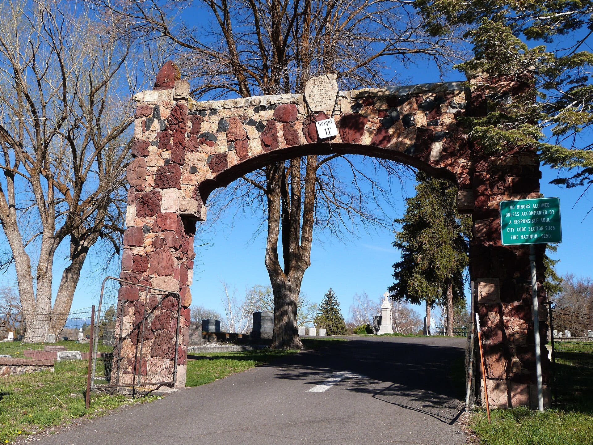
PLATE XIV — The historic red-and-black volcanic lava-rock East Gate Arch at the entrance to Linkville Pioneer Cemetery in Klamath Falls. ERA: 1870s – 1930s

The Linkville Pioneer Cemetery

Perched on a bluff overlooking downtown Klamath Falls and Upper Klamath Lake, Linkville Pioneer Cemetery preserves the earliest chapters of basin settlement—including founder George Nurse and veterans of the Civil and Modoc Wars.

ENTRY KB-001 42.2235° N, 121.7942° W
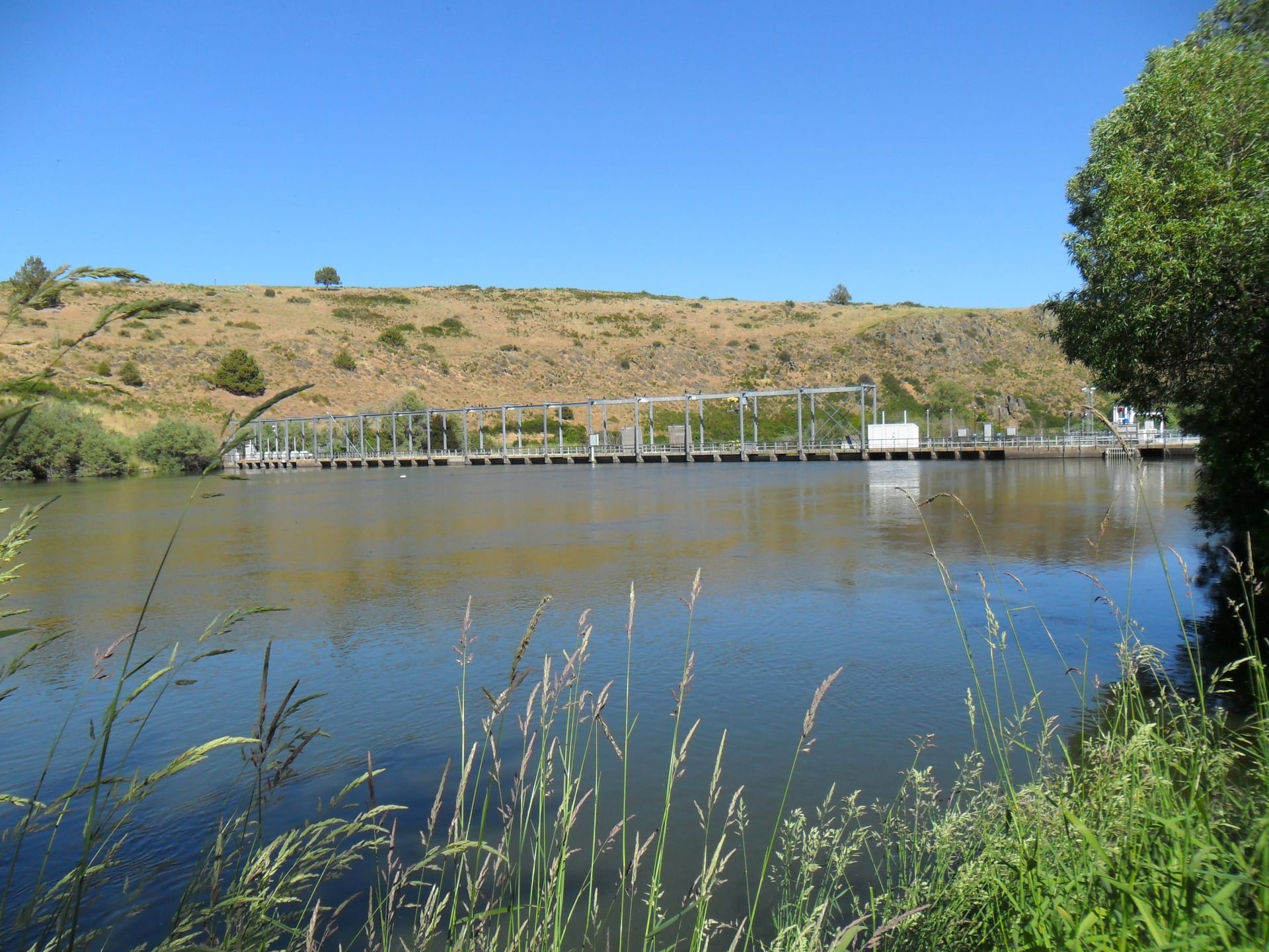
PLATE I — The 1921 Link River Dam spanning the basalt river corridor in Klamath Falls, Oregon. ERA: 1867 – 1921

The Link River & Early Linkville

Before the modern town took its name in 1893, the narrow tumbling channel linking Upper Klamath Lake to Lake Ewauna was a vital crossing, seasonal fishing ground, and the engine behind the basin's first mills.

ENTRY KB-002 41.7139° N, 121.5083° W
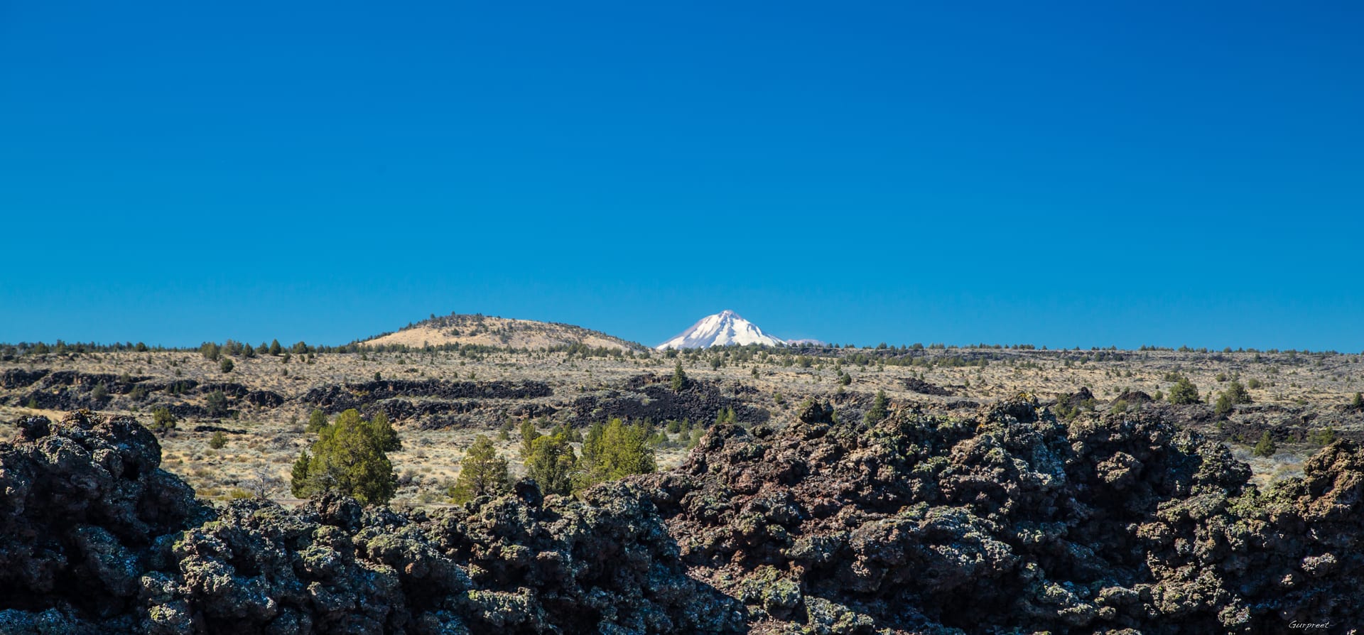
PLATE II — Jagged basalt lava flows and high-desert sagebrush across Lava Beds National Monument looking toward snow-capped Mount Shasta. ERA: 1872 – 1873

Basalt Fortresses of the Modoc Plateau

From ground level, the lava fields south of Tule Lake look impenetrable. From 390 feet, the collapsed lava tubes, natural trenches, and volcanic ridges reveal why this terrain defied armies.

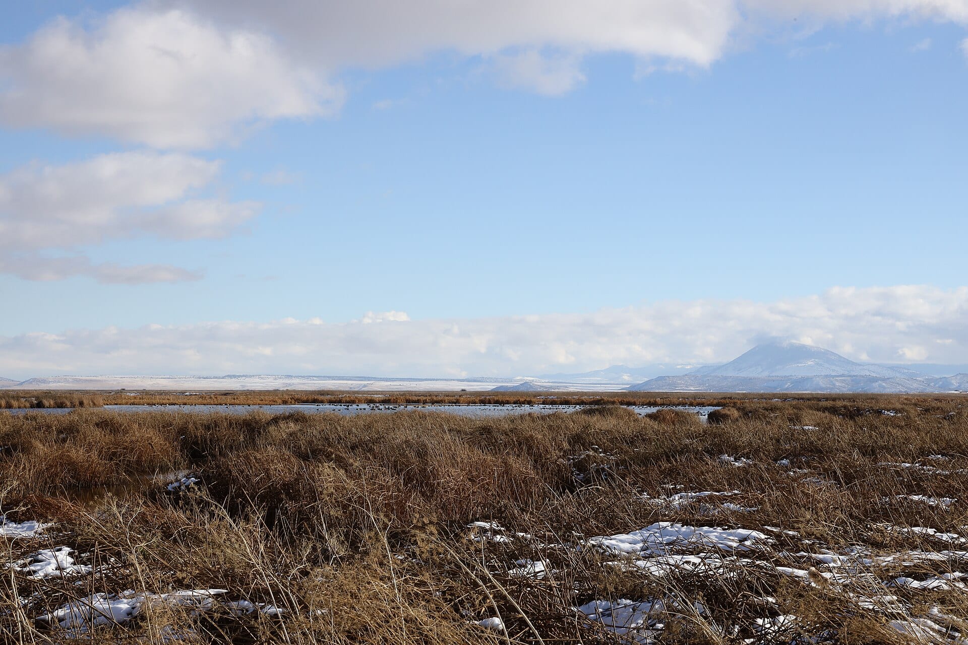
ENTRY KB-004 41.9093° N, 121.5331° W
PLATE IV — Early-winter view across the golden tule marshes, waterfowl habitat, and distant volcanic ridges of Tule Lake National Wildlife Refuge. ERA: 1905 – 1948

The Klamath Project & the Reclamation Era

Authorized in 1905 as one of the earliest federal reclamation undertakings in the American West, the Klamath Project transformed vast shallow lakes into a geometric grid of homestead farms and canals.