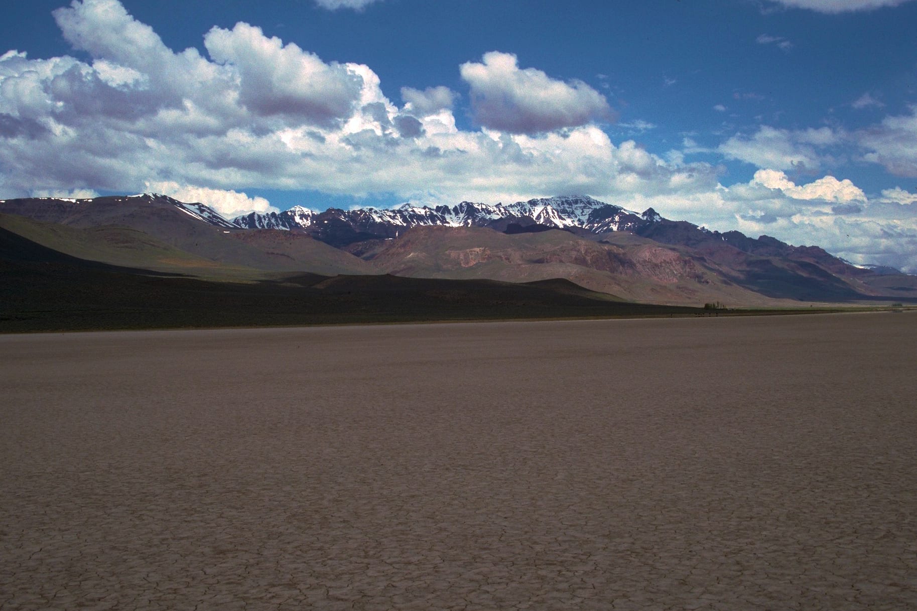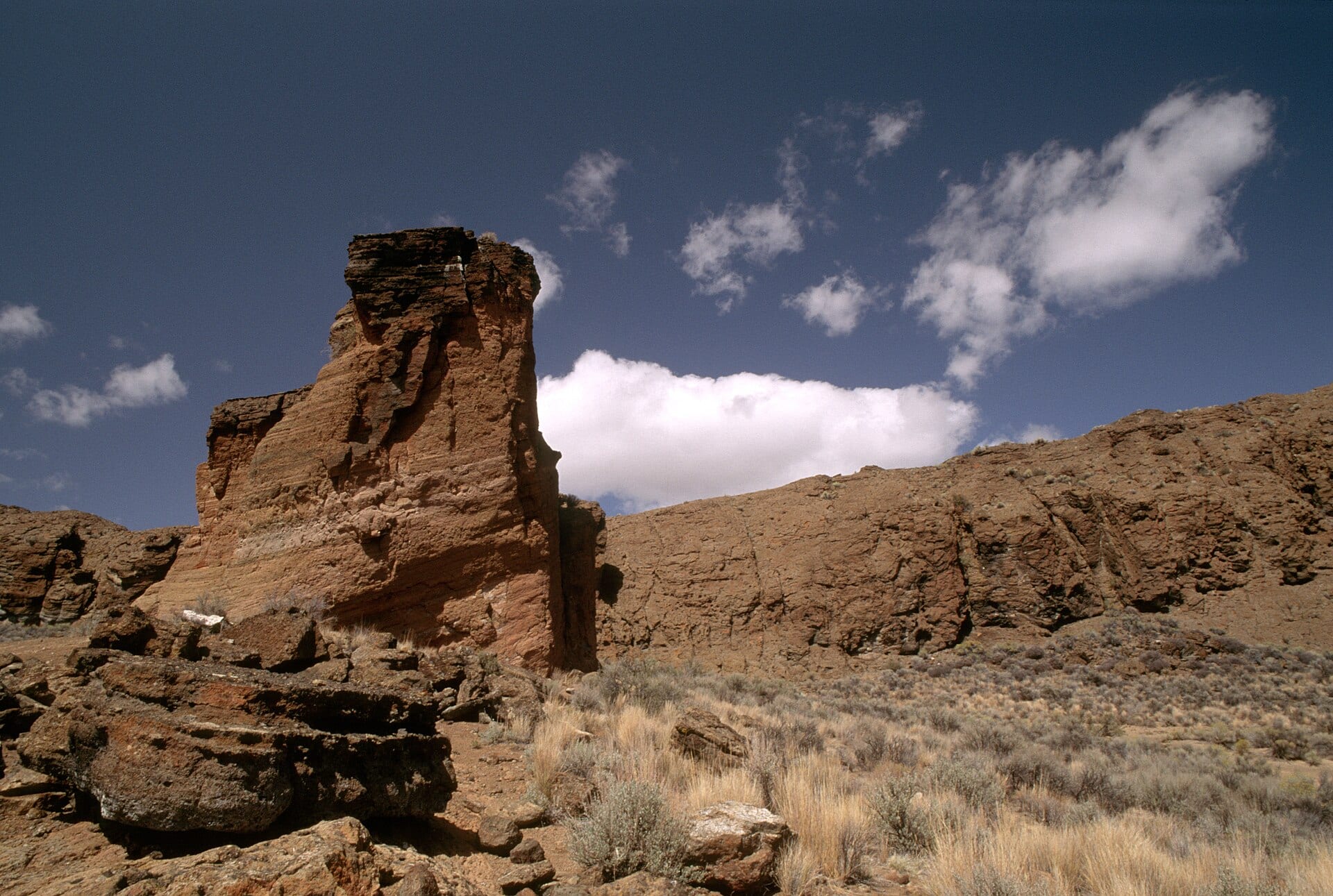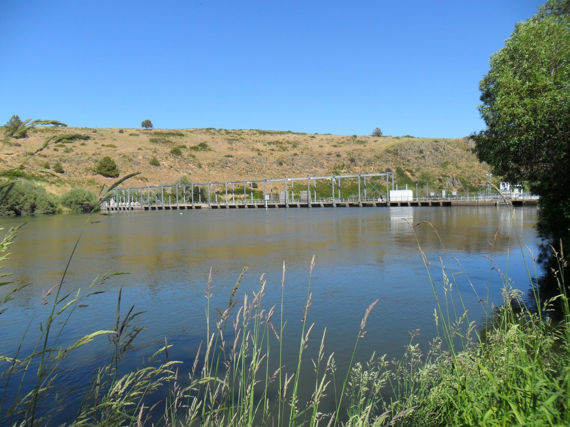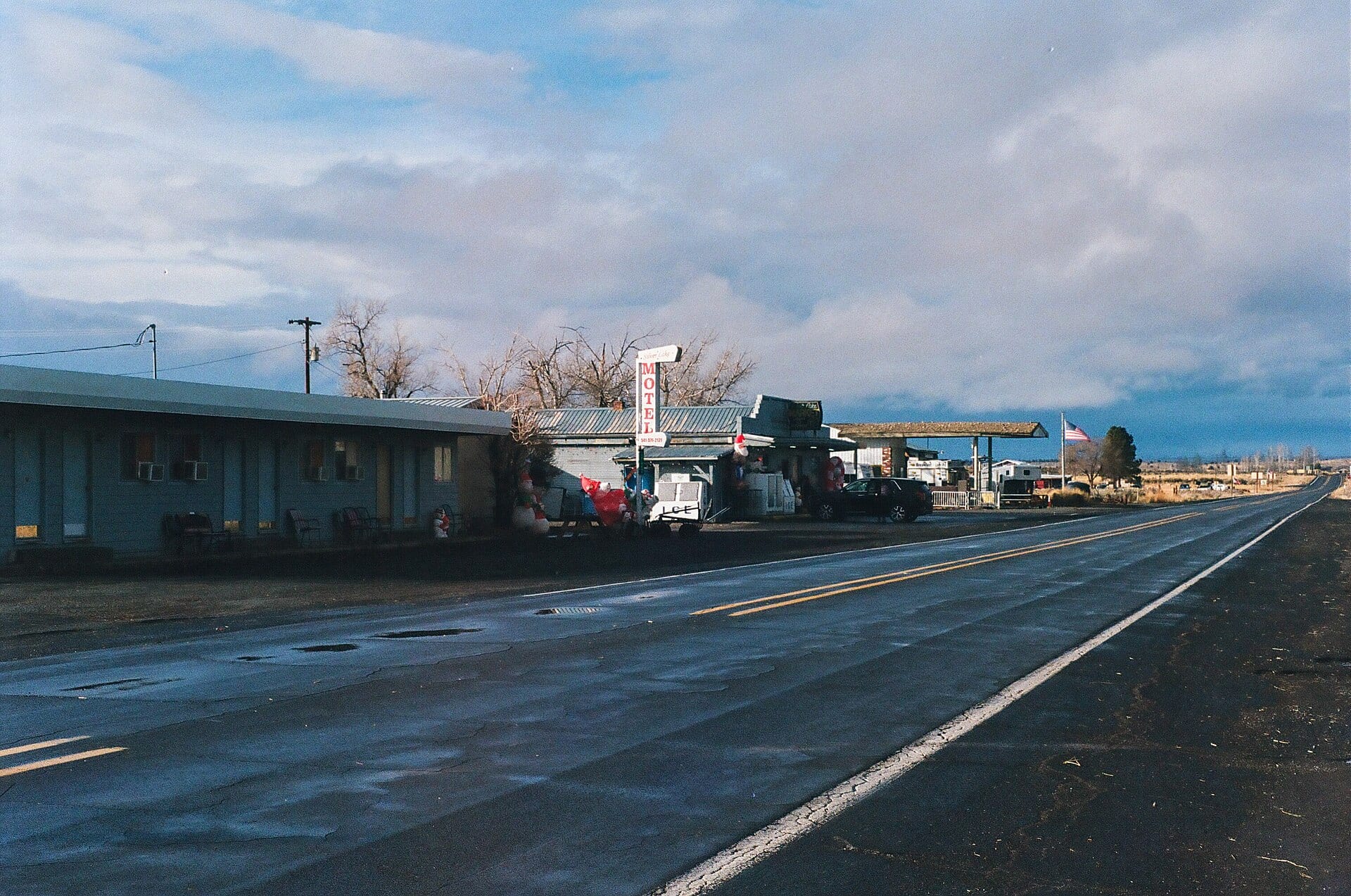
Where the pine timber of the Fremont-Winema uplands gives way to the vast sagebrush horizon of northern Lake County, Oregon Route 31—the Outback Scenic Byway—cuts straight through the tiny frontier town of Silver Lake. Established in the 1870s near the marshy shores of shallow, seasonal Silver Lake and Paulina Marsh, the settlement grew into a vital trading post and supply stop for sheepherders, buckaroos, and stagecoach travelers crossing the high desert between Bend, Klamath Falls, and Lakeview.
The Christmas Eve Fire of 1894
Silver Lake’s small-town quiet belies one of the most heartbreaking events in Pacific Northwest history. On the night of December 24, 1894, nearly 200 residents from ranches across the Silver Lake and Fort Rock basins packed into the second-floor hall above Chrisman’s Store for the annual community Christmas program.
During the celebration, a hanging kerosene lamp was accidentally knocked down, igniting dry evergreen boughs and spilling burning oil across the wooden floor near the hall’s single narrow exit stairway—whose door opened inward. In the dark panic, 43 men, women, and children lost their lives, making it the deadliest single-building fire in Oregon history.
- Statewide Legacy: Outcry following the Silver Lake tragedy led Oregon lawmakers and communities across the West to mandate outward-swinging doors and multiple exits in public assembly halls.
- Silver Lake Cemetery Memorial: Just outside town, weathered headstones and a solemn historical marker still commemorate the pioneer families lost that winter night.
“Out along Highway 31, the sky stretches for a hundred miles—yet every signpost and pioneer stone around Silver Lake reminds you how tightly knit these remote Outback communities had to be.”
Exploring the Surrounding Silver Lake Basin
From Silver Lake, gravel backroads radiate out to Paulina Marsh, the Picture Rock Pass petroglyph overlook, Summer Lake, and the Fort Rock Basin—creating one of the richest open-sky aerial history corridors anywhere in Oregon.