To understand the landscapes of the Klamath Basin from four hundred feet above the trees, you must understand wildland fire. Across southern Oregon and northern California’s rain-shadowed ponderosa pine belt, fire is not an occasional intruder—it is a foundational ecological force whose changing relationship with human land management is written across every ridge.
1. Ancestral Fire & Open Ponderosa Parklands
For thousands of years before twentieth-century timber suppression, frequent lightning ignitions and deliberate cultural burning practiced by the Klamath, Modoc, and Yahooskin peoples swept lightly through the basin’s forest understory every 5 to 15 years. Those low-intensity surface fires cleared dead needles, brush, and dense saplings while leaving thick-barked, mature ponderosa pines unharmed—creating wide, sunlit, park-like stands where early travelers could ride wagons between the trunks.
2. The Era of Total Suppression & CCC Fire Lookouts
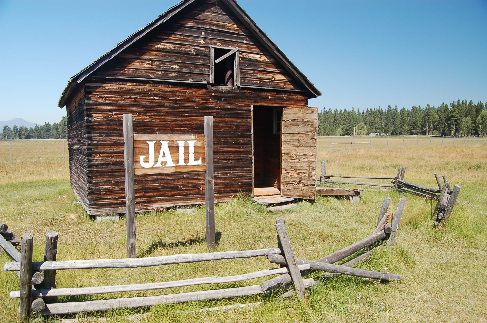
Following the devastating Big Burn of 1910 across the northern Rockies and the expansion of commercial timber holdings in Klamath County, federal and state forestry agencies adopted aggressive total-suppression policies. During the 1930s, Civilian Conservation Corps (CCC) crews built timber fire lookout towers across basin high points—watching over the Fremont and Winema forests from peaks like Yamsay Mountain, Gearhart, Calimus Butte, and Hogback Mountain.
Suppression protected timber harvests and growing towns for decades, yet excluding frequent low-intensity fire allowed dense thickets of white fir, lodgepole pine, and ladder fuels to pack tightly beneath old-growth canopies. Combined with multi-year high-desert droughts and hotter summers, the stage was set for extreme fire behavior.
3. Modern Klamath Basin Megafires
Over the past decade, historic wildfires have dramatically reshaped portions of Klamath and Lake Counties:
- 2020 Two Four Two Fire (Chiloquin / Collier Corridor): Driven by severe September east winds, the fire burned over 14,400 acres along Highway 97, threatening Chiloquin, scorching portions of Collier Memorial State Park, and destroying dozens of homes and outbuildings.
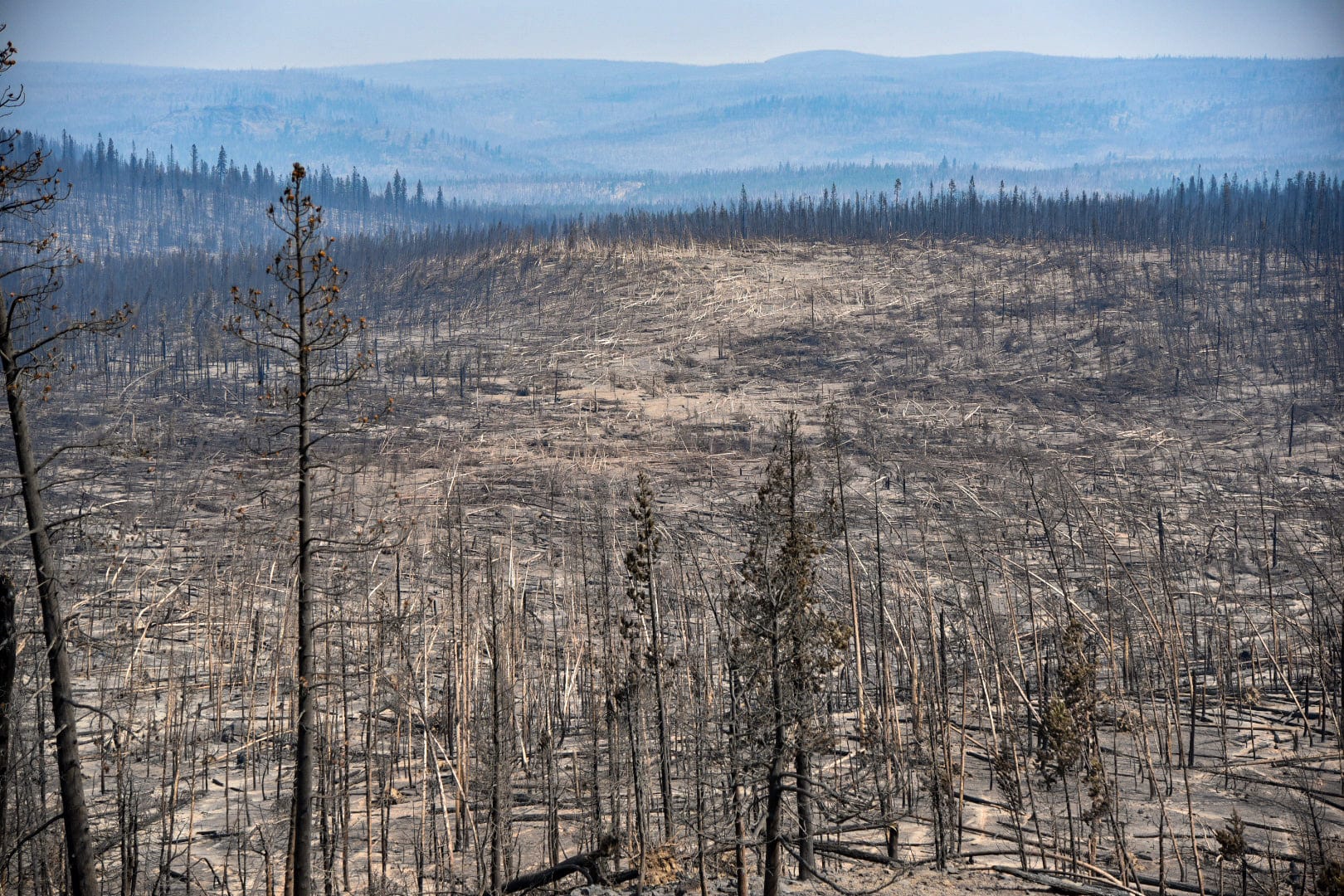
- 2021 Bootleg Fire (413,765 Acres): Ignited by lightning on July 6, 2021 near Beatty and Sprague River in the Fremont-Winema National Forest, the Bootleg Fire grew into the third-largest wildfire in modern Oregon history—stretching from the Sprague River valley east toward Bly, Sycan Marsh, and Paisley. So intense was its thermal energy that it generated towering pyrocumulonimbus storm clouds and a rare, confirmed EF-1 fire tornado on July 18 that snapped and flattened acres of mature timber.
- 2021 Cougar Peak & 2018 Watson Creek Fires: Burning tens of thousands of additional acres across the Lakeview and Fremont-Winema uplands, testing rural volunteer fire districts and interagency hotshot crews across the Outback.
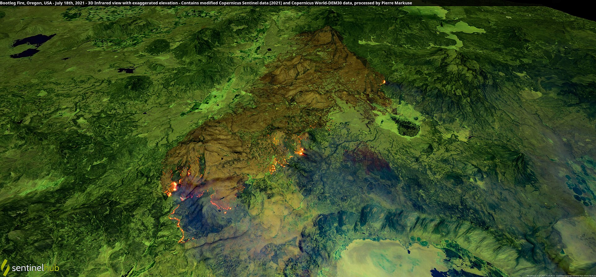 Archival Satellite Plate: 3D infrared Sentinel view of the Bootleg Fire on July 18, 2021, illustrating active fire perimeters across the Fremont-Winema uplands above Sycan Marsh and Winter Rim. Processed by Pierre Markuse from Copernicus Sentinel data (CC BY 2.0).
4. Prescribed Fire & Ecological Recovery
One striking lesson documented by forest ecologists inside the Bootleg Fire footprint was how differently the fire behaved where mechanical thinning and prescribed burns had already been completed—often dropping from catastrophic crown fire back to the ground and allowing mature ponderosa pines to survive. Today, collaborative partnerships among the Klamath Tribes, U.S. Forest Service, Oregon Department of Forestry, and private landowners are working to reintroduce controlled fire and document post-fire watershed recovery.
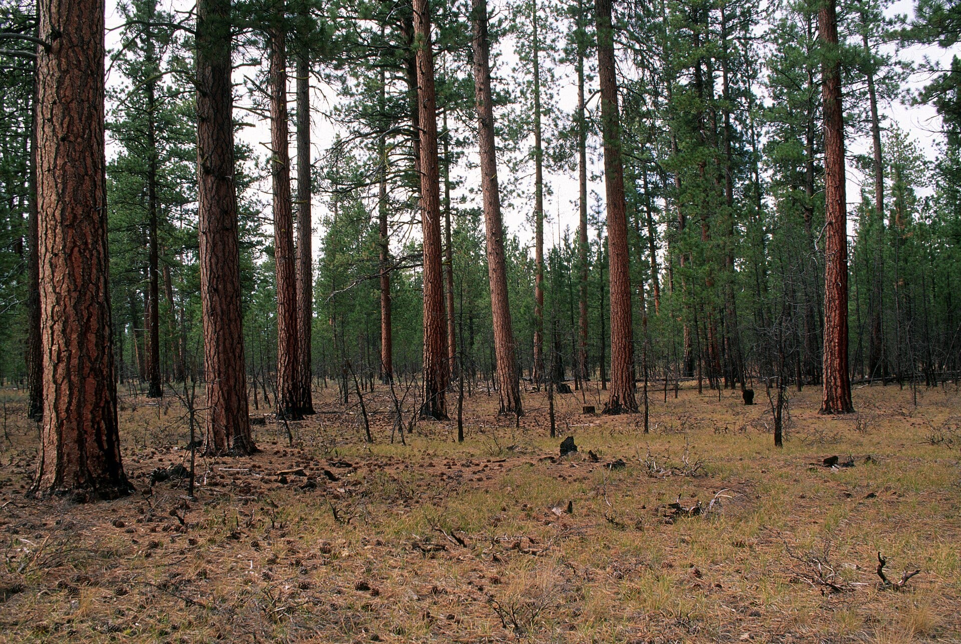 Reference Plate: Open, fire-resilient ponderosa pine stand after prescribed burning in the Fremont-Winema National Forest. Photo by U.S. Forest Service, Pacific Northwest Region (Public Domain).
Critical Drone Safety Rule: “If You Fly, We Can’t”
Never launch a drone anywhere near an active wildfire. Unauthorized drones violate FAA Temporary Flight Restrictions (TFRs) and force fire managers to immediately ground airtankers, helicopters, and aerial supervision aircraft—endangering firefighters on the ground and nearby communities. High Desert Drone Adventures documents wildfire landscapes strictly after fires are fully contained, TFRs are lifted, and closures have ended.