North of Upper Klamath Lake, the arid sagebrush steppe transforms dramatically into emerald pastureland fed by ice-cold volcanic springs. Flowing gently through the center of this broad basin is the Wood River, bordered by ponderosa timber ridges and framed on the north by the rim of Crater Lake.
It was here, in the autumn of 1863, that the U.S. Army established Fort Klamath to guard the wagon road linking the Rogue Valley to the interior basin and to monitor the newly formed Klamath Reservation corridor. Unlike the palisaded timber forts of Hollywood lore, Fort Klamath was an open quadrangle of whitewashed barracks, officers’ quarters, stables, and a sawmill powered by Fort Creek.
Traces Still Visible in the Meadow
Although the post was formally abandoned in 1890 and most of its original wooden buildings were dismantled or relocated across the valley, early morning aerial light still brings faint landscape signatures to life:
- The Parade Ground Footprint: Subtle soil and pasture variations outline the broad rectangular commons where cavalry regiments once drilled beneath the Cascades.
- Historic Wagon Approaches: Looking west toward Anna Creek and Sun Mountain, you can still trace the gentle grades that early freight wagons followed over the mountain passes.
- Spring-Fed Channels: Crystal-clear channels meandering through the ranchlands explain why this valley has drawn travelers, ranchers, and historians for more than a century and a half.
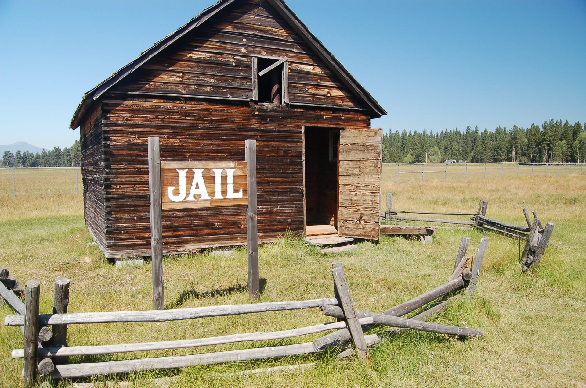
Today, the Fort Klamath Park & Museum preserves the site’s history and seasonal exhibits for visitors traveling Highway 62 toward Crater Lake National Park.
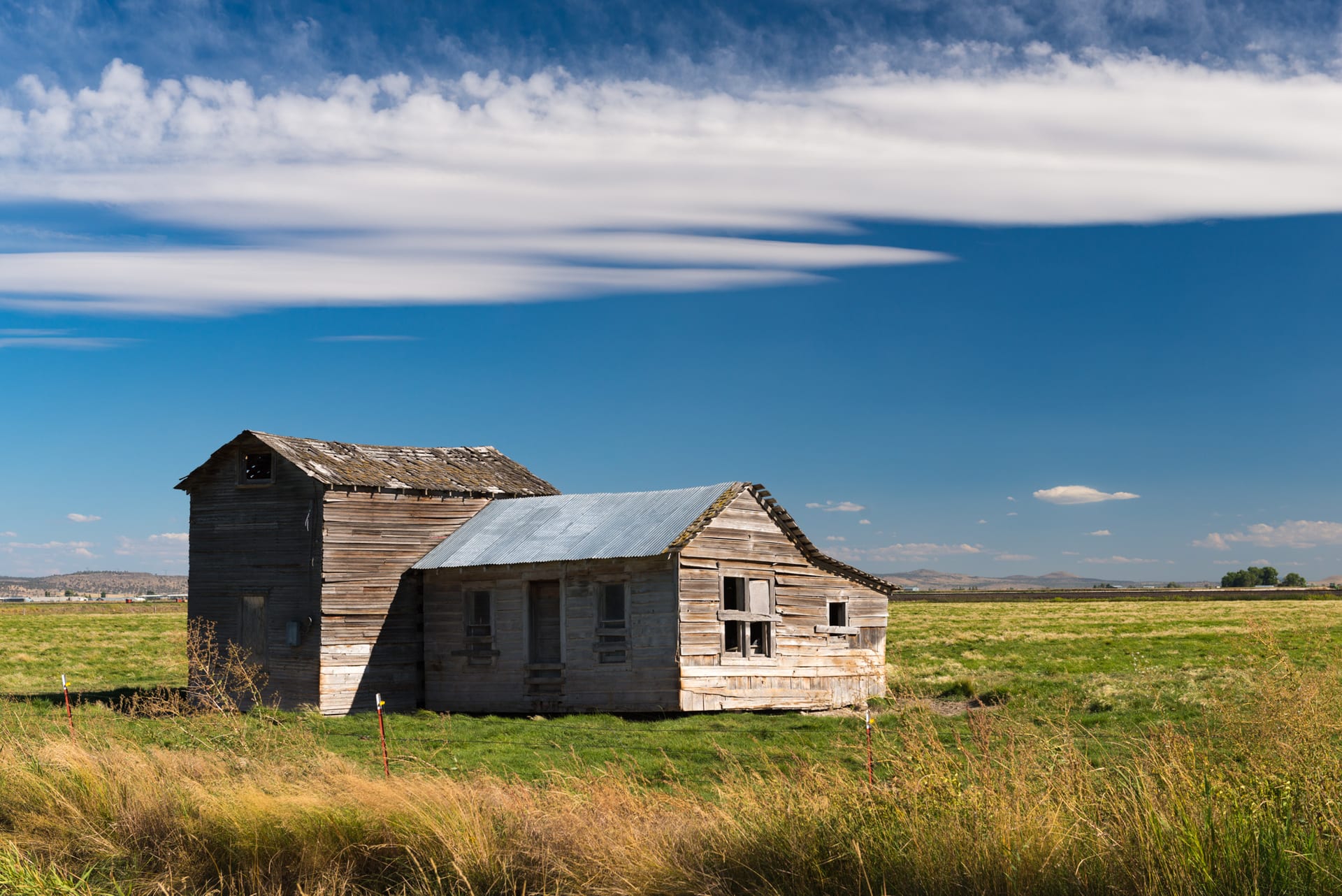
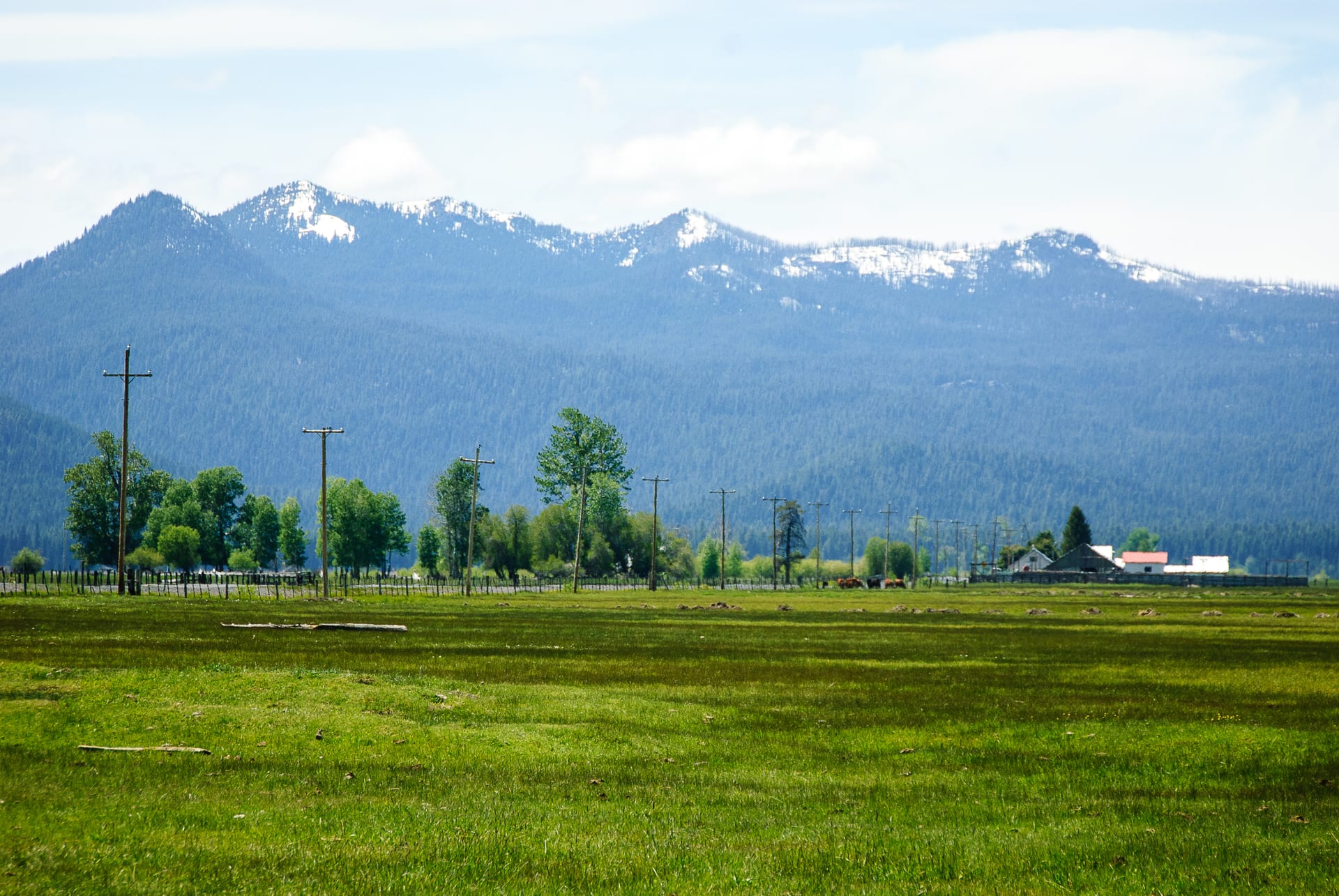 Reference Plate: Wood River Valley pasturelands beneath the Cascade Range at Fort Klamath, Oregon. Photo by Loren Kerns (CC BY 2.0, Wikimedia Commons).