Walk the quiet shoreline of Lake Ewauna or hike the OC&E Woods Line State Trail east toward Bly today and it is easy to forget that for much of the twentieth century, the Klamath Basin was one of the most productive ponderosa pine lumber regions on Earth.
Ringed by millions of acres of towering, straight-grained yellow pine stretching from the Cascades east across the Fremont-Winema uplands, Klamath County’s timber boom transformed an isolated ranching frontier into a roaring railroad and sawmill metropolis.
From Pioneer Water Mills to the 1909 Rail Boom
Early nineteenth-century lumbering served strictly local needs—small water-powered mills along Fort Creek, the Link River, and the Lost River sawing planks for cabins, flumes, and barns. Everything changed in 1909, when the Southern Pacific Railroad completed its line into Klamath Falls, unlocking national markets for Klamath Basin box shook (wooden crates for California fruit growers) and kiln-dried ponderosa framing lumber.
Over the next three decades, giant mill complexes and self-contained company towns sprang up across the basin:
- Lake Ewauna Mill Row: Pelican Bay Lumber, Ewauna Box Company, Big Lakes Box, and Shaw-Bertram lined the lake’s margins with sprawling log-sorting ponds, wigwam sawdust burners, and steam-powered planing mills.
- Weyerhaeuser Timber Company (1929): Opening a state-of-the-art four-band sawmill on the Klamath River just southwest of Klamath Falls, Weyerhaeuser constructed an extensive private logging railroad network climbing deep into western and eastern pine stands.
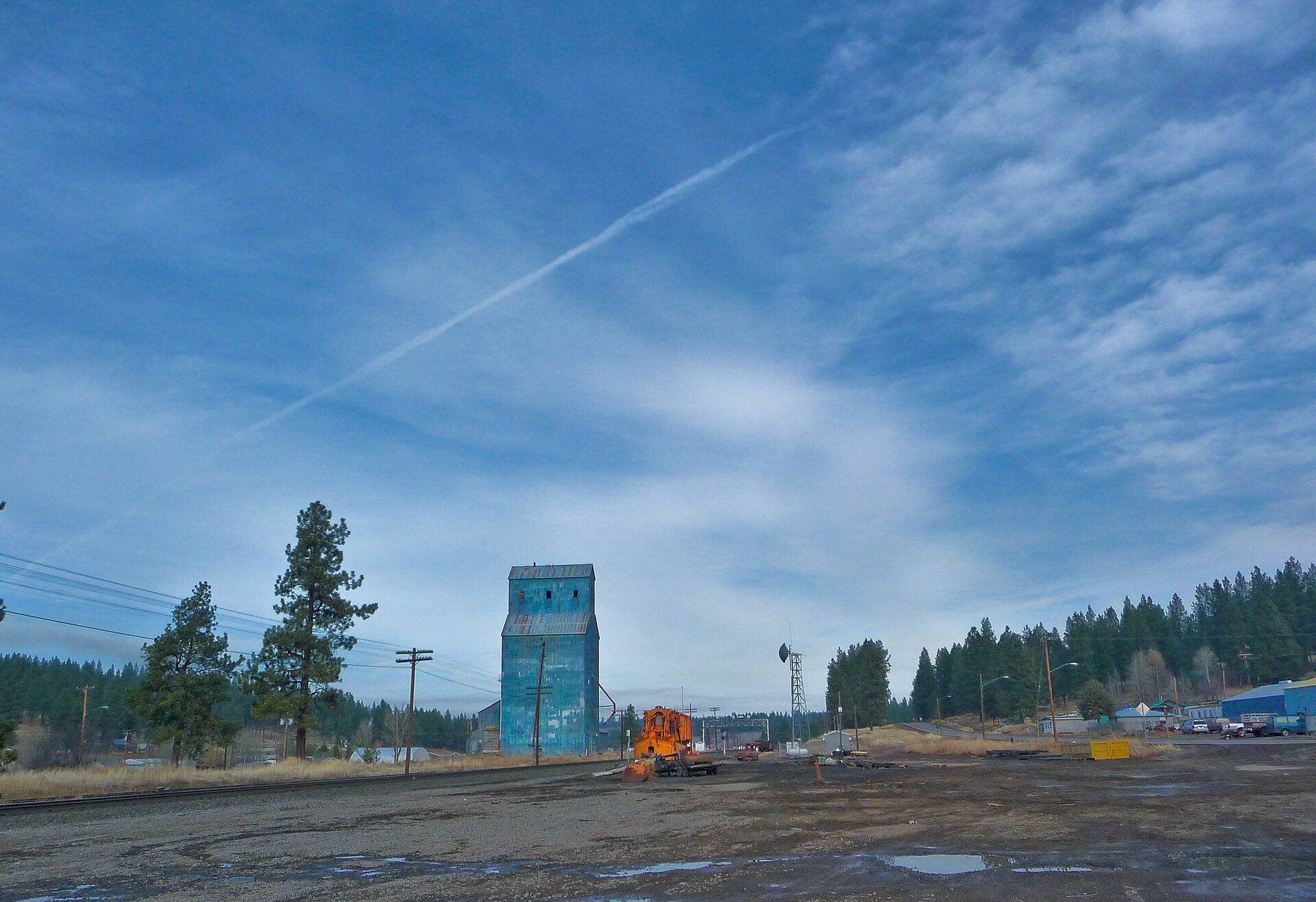
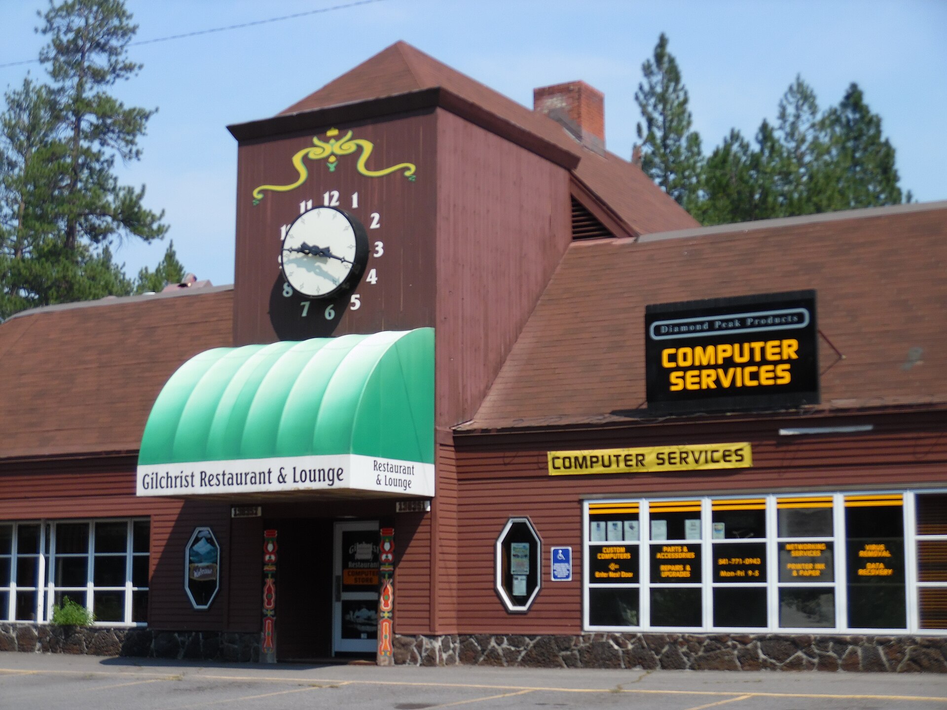
- Company Towns of the Timber Belt: Communities like Algoma, Modoc Point, Sprague River, Chiloquin, Bly, and Frank Gilchrist’s meticulously planned 1938 town of Gilchrist grew directly around timber harvests and short-line rails such as the OC&E and Klamath Northern Railway.
Tools of the High-Desert Woods
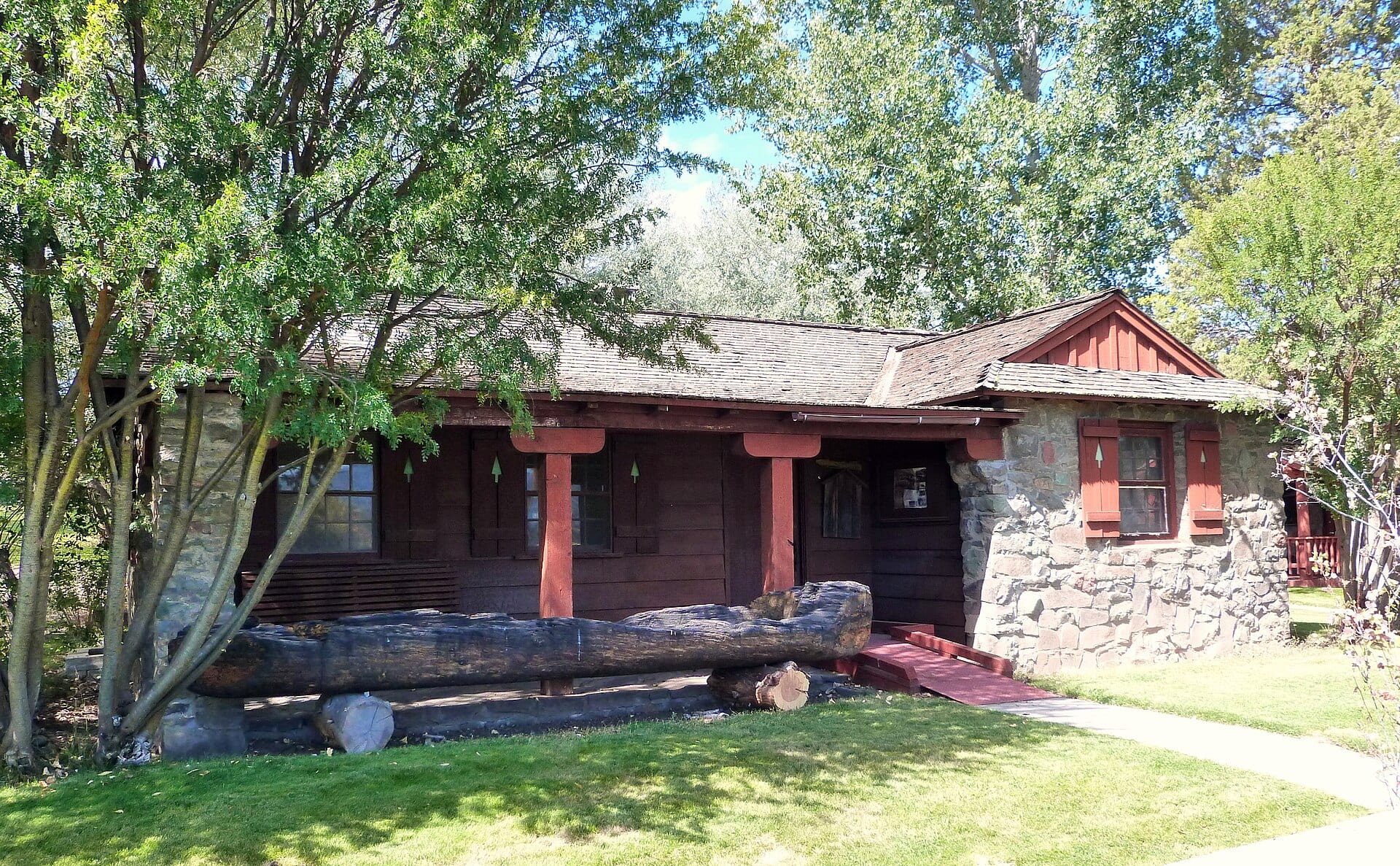
Unlike the steep, wet old-growth rain forests of coastal Oregon, the Klamath Basin’s relatively open volcanic plateau fostered its own distinct logging technology—preserved today at Collier Memorial State Park & Logging Museum north of Chiloquin:
- High-Wheel Log Carts: Ten-foot-tall wooden wheels pulled by oxen or horses lifted the front end of massive ponderosa trunks clear of pumice dust and lava rock.
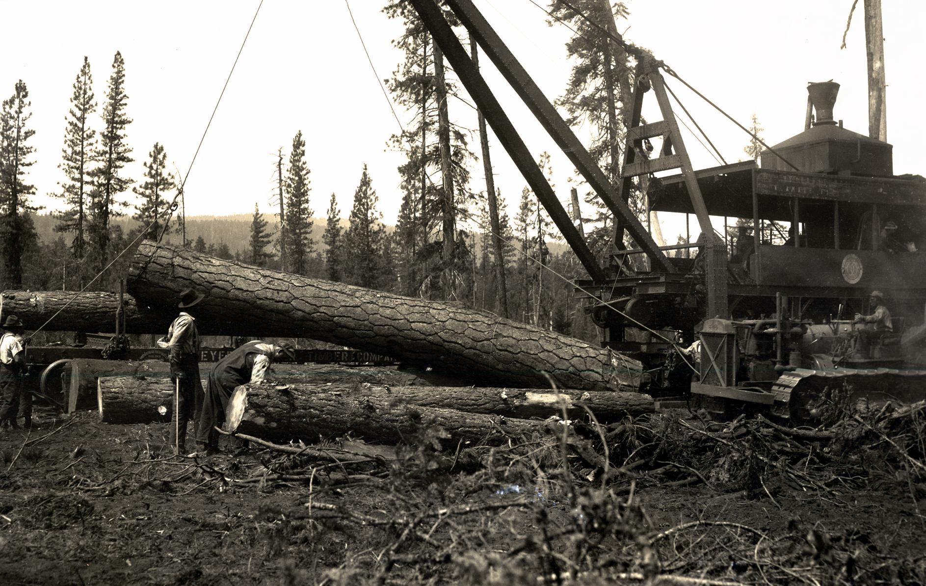
- Steam Jammers & Caterpillar Tractors: By the late 1920s and 1930s, tracked crawler tractors skidded logs to railroad spurs where steam-powered McGiffert loaders hoisted them directly onto flatcars.
- Tugboats & Lake Booms: Wooden steam and diesel towboats pushed immense chained rafts of floating logs down Upper Klamath Lake and across Lake Ewauna straight to the mill jack-ladders.
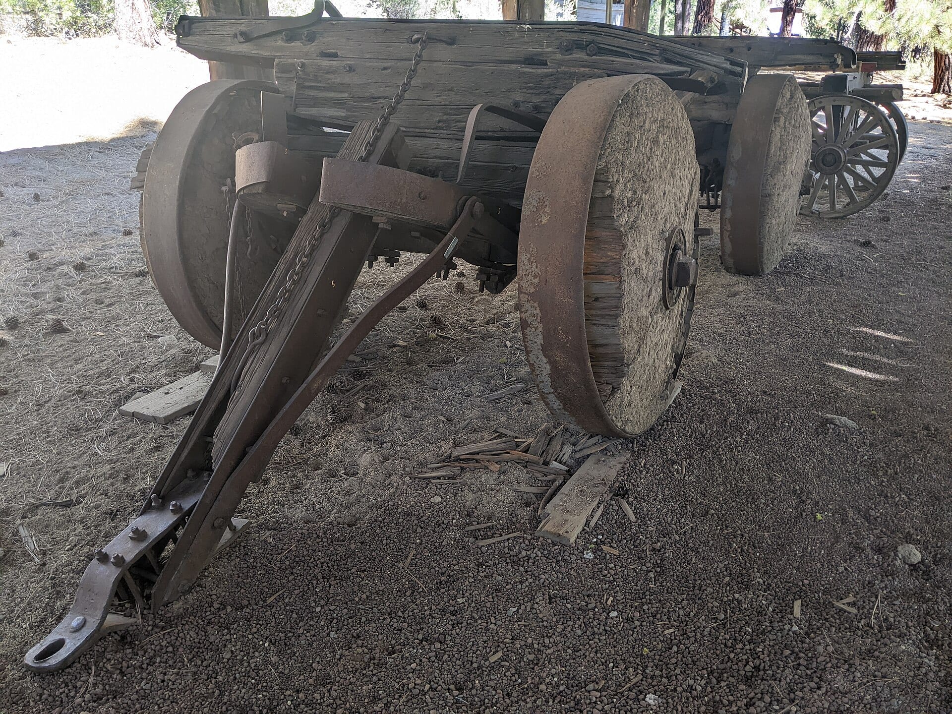 Reference Plate: Pioneer solid-wheel log cart preserved beneath ponderosa pines at Collier Memorial State Park Logging Museum, Klamath County. Photo by Bobjgalindo (CC BY 4.0, Wikimedia Commons).
Traces Still Visible From the Sky
Even decades after most historic mills closed, an aerial flight across the basin still traces the timber era clearly: submerged rows of log-boom pilings in Lake Ewauna, long ruler-straight railroad grades cutting through sage and pine flats, and the historic millpond and clock-tower mall still standing in Gilchrist.