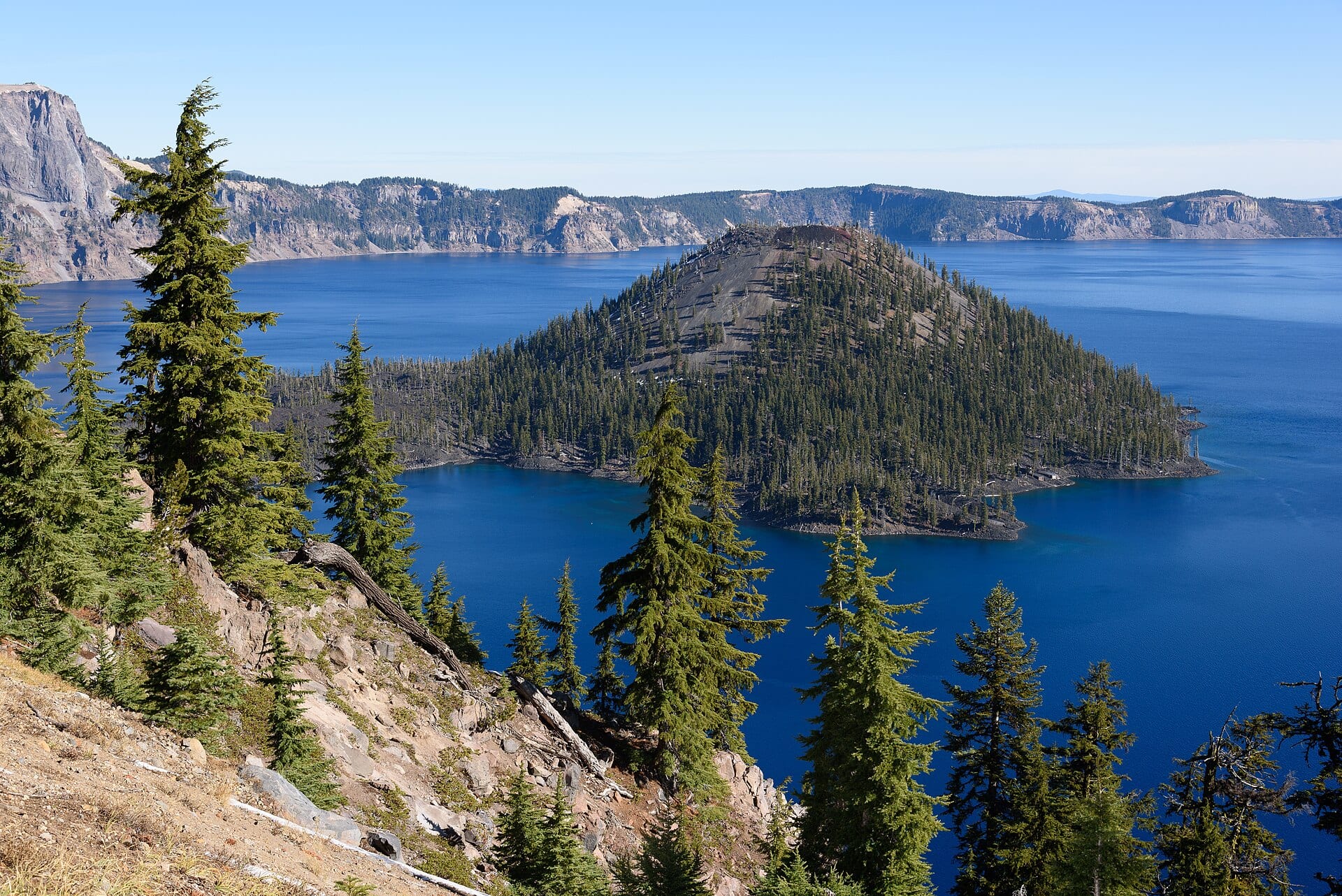
Towering along the northwestern skyline of Klamath County lies the most famous geological landmark connected to the Klamath Basin: Crater Lake. Filled entirely by rain and heavy Cascade snowfall with no inflowing or outflowing rivers, its astonishing clarity and 1,949-foot depth produce an almost surreal cobalt blue that has captivated travelers for millennia.
The Fall of Mount Mazama & giiwas
Roughly 7,700 years ago, a 12,000-foot stratovolcano known to geologists as Mount Mazama erupted with more than forty times the force of Mount St. Helens in 1980, blanketing the entire Klamath Basin and much of the Pacific Northwest in pumice and volcanic ash before its empty magma chamber collapsed inward to form a five-mile-wide caldera.
Oral traditions of the Klamath Tribes preserve eyewitness cultural memory of this cataclysmic battle between Llao (the spirit of the below world at Mount Mazama) and Skell (the spirit of the above world at Mount Shasta). Known as giiwas, the caldera remains a deeply sacred place of spiritual reverence.
Early Exploration, Crater Lake Lodge & Rim Drive
- 1853 & 1902: Gold prospectors led by John Wesley Hillman encountered the hidden lake in 1853, calling it “Deep Blue Lake.” After tireless advocacy by mountaineer William Gladstone Steel, President Theodore Roosevelt signed the act creating Crater Lake National Park on May 22, 1902—the fifth national park in the United States.
- Crater Lake Lodge (1915): Perched dramatically on the southern rim, the rustic stone-and-timber lodge welcomed early motoring tourists climbing up from Fort Klamath and Medford.
- Historic Rim Drive (1931–1941): Engineered by the National Park Service and Bureau of Public Roads with hand-laid native volcanic stone guardrails, the 33-mile Rim Drive remains a masterpiece of Depression-era landscape architecture.
Strict National Park Airspace Stewardship
All unmanned aircraft (drones) are strictly prohibited inside Crater Lake National Park. Our coverage of Crater Lake relies exclusively on high-resolution ground/rim cinema cameras and lawful aerial context shots filmed strictly outside National Park boundaries across the southern Fort Klamath and Cascade approaches.