Straddling Highway 39 along a graceful bend of the Lost River, Merrill has served as the crossroads of the southern Klamath Basin for more than 130 years. Settled in the 1890s by Nathan S. Merrill, who platted the townsite in 1894 beside a vital river crossing, the community quickly evolved from a rural supply stop into one of the most productive agricultural hubs in the Pacific Northwest.
From 310 feet above the valley floor, the town’s historic relationship with water, rail, and harvest stands out immediately.
Agricultural Architecture from the Sky
While ground-level travelers notice Merrill’s welcoming Main Street storefronts, an elevated perspective reveals the industrial backbone that fueled a century of Klamath Basin farming:
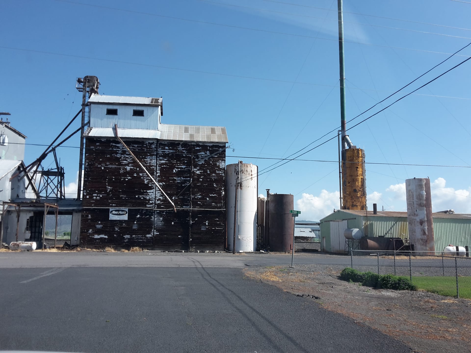
- Towering Grain Elevators & Potato Cellars: Weathered metal and timber elevators standing beside historic rail corridors cast dramatic afternoon silhouettes across the valley—monuments to the barley, wheat, and Klamath Basin netted-gem potatoes shipped nationwide.
- The Lost River Corridor: Lined with golden cottonwoods and willows, the river cuts a soft organic curve right beside the straight lines of town blocks and canal laterals.
- Home of the Klamath Basin Potato Festival: Launched in 1937 to celebrate the region’s signature crop, Merrill’s autumn tradition remains one of the longest-running harvest festivals in Oregon.
“Every barn roof, rail spur, and irrigation turnout around Merrill tells the story of how a frontier river crossing became a breadbasket of the high desert.”
Companion Aerial Flight
Watch Reel KB-007 in the 4K Aerial Cinema section for sweeping sunset passes along the Lost River bend and the wide horizon stretching toward Mount Shasta and Medicine Lake to the south.