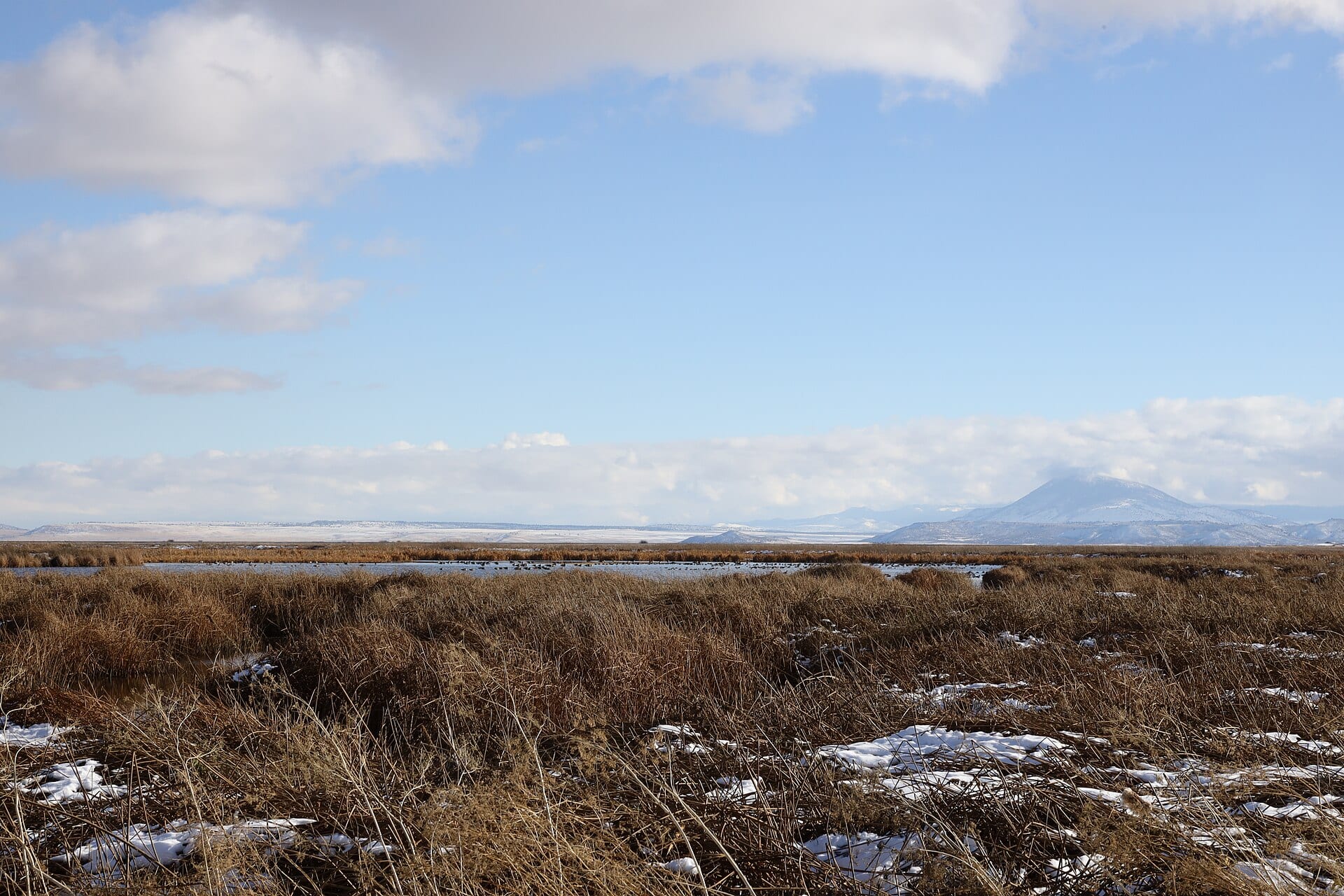
Compare an 1890s General Land Office survey map of the Klamath Basin with a 4K drone panorama shot today and you are looking at two fundamentally different worlds. At the close of the nineteenth century, massive shallow lakes and tule marshes—Lower Klamath Lake and Tule Lake—covered hundreds of thousands of acres across the Oregon–California state line.
Authorized by the Secretary of the Interior in May 1905 under the Reclamation Act of 1902, the Klamath Project became one of the United States’ earliest large-scale federal irrigation and drainage engineering feats.
Engineering Patterns Visible at 400 Feet
From high above the basin floor, the sheer ambition of early twentieth-century civil engineering becomes unmistakable:
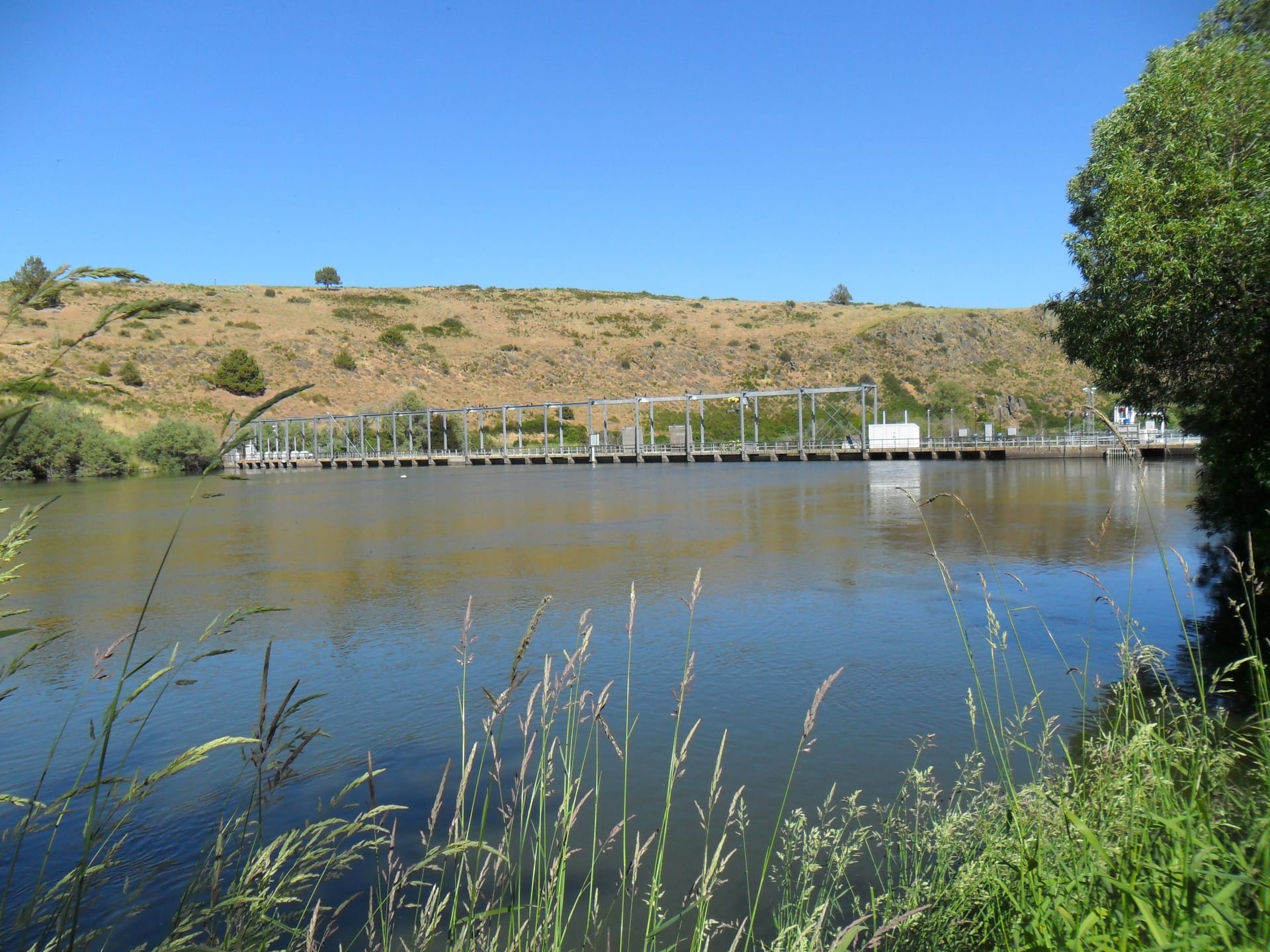
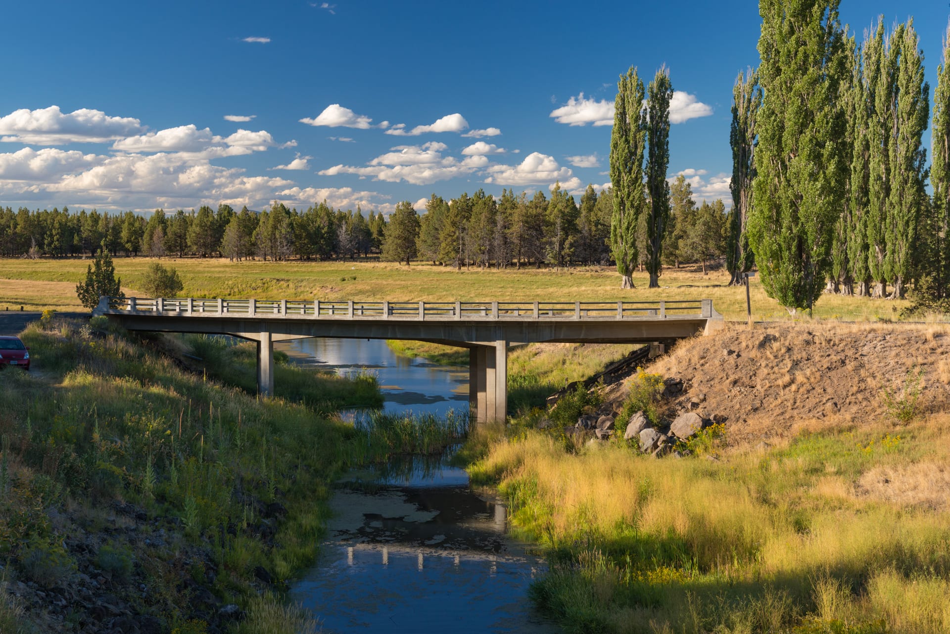
- The A-Canal & Headworks: Completed in 1907, the main canal draws directly from Upper Klamath Lake, routing water along the rimrock benches before fanning out into hundreds of miles of laterals.
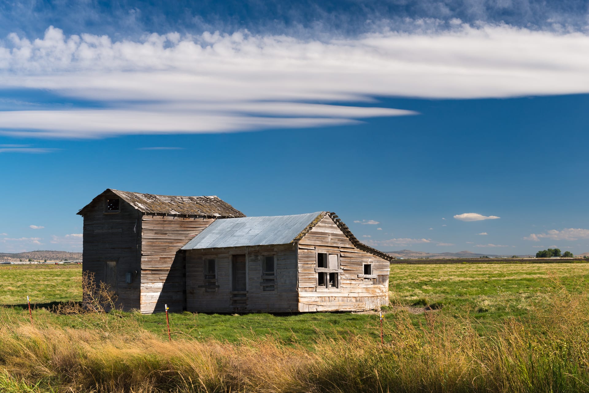
- Drained Lakebed Homesteads: Following World War I and World War II, newly exposed lakebed soils were opened to veteran homestead lotteries, creating tidy rectilinear road grids and irrigation checks that contrast starkly with the curved volcanic bluffs surrounding them.
- Shared Waters & Modern Stewardship: Today, the same basin balances family farms, Pacific Flyway migratory refuges, and tribal water rights—making historical literacy essential to understanding the modern landscape.
Watch the companion 4K aerial reel on YouTube for full map overlays comparing 1905 topographic surveys with contemporary flight footage.