Set just two miles north of the California state line beneath dry basalt rimrock, the town of Malin looks from the sky like an orderly oasis pressed into the southeastern corner of the Klamath Basin. Its clean grid, tree-shaded avenues, and surrounding tapestry of golden grain and potato fields reflect deliberate community planning dating back to 1909.
That year, a colony of Czech (Bohemian) immigrant families—many relocating from Nebraska through the efforts of the Czech Colonization Club—arrived in the newly irrigated southern basin. Drawn by the promise of Klamath Project water and rich volcanic-ash soils, the founders named their new settlement Malin after a town in their Bohemian homeland.
Reading a Century of Community Craft from Above
An aerial survey over Malin and its outskirts brings the founders’ vision into sharp relief:
- Broadway & the Historic Town Plan: Unlike ad-hoc frontier boomtowns, Malin was laid out with wide streets, a central park, and gathering spaces built for generations rather than a single harvest season.
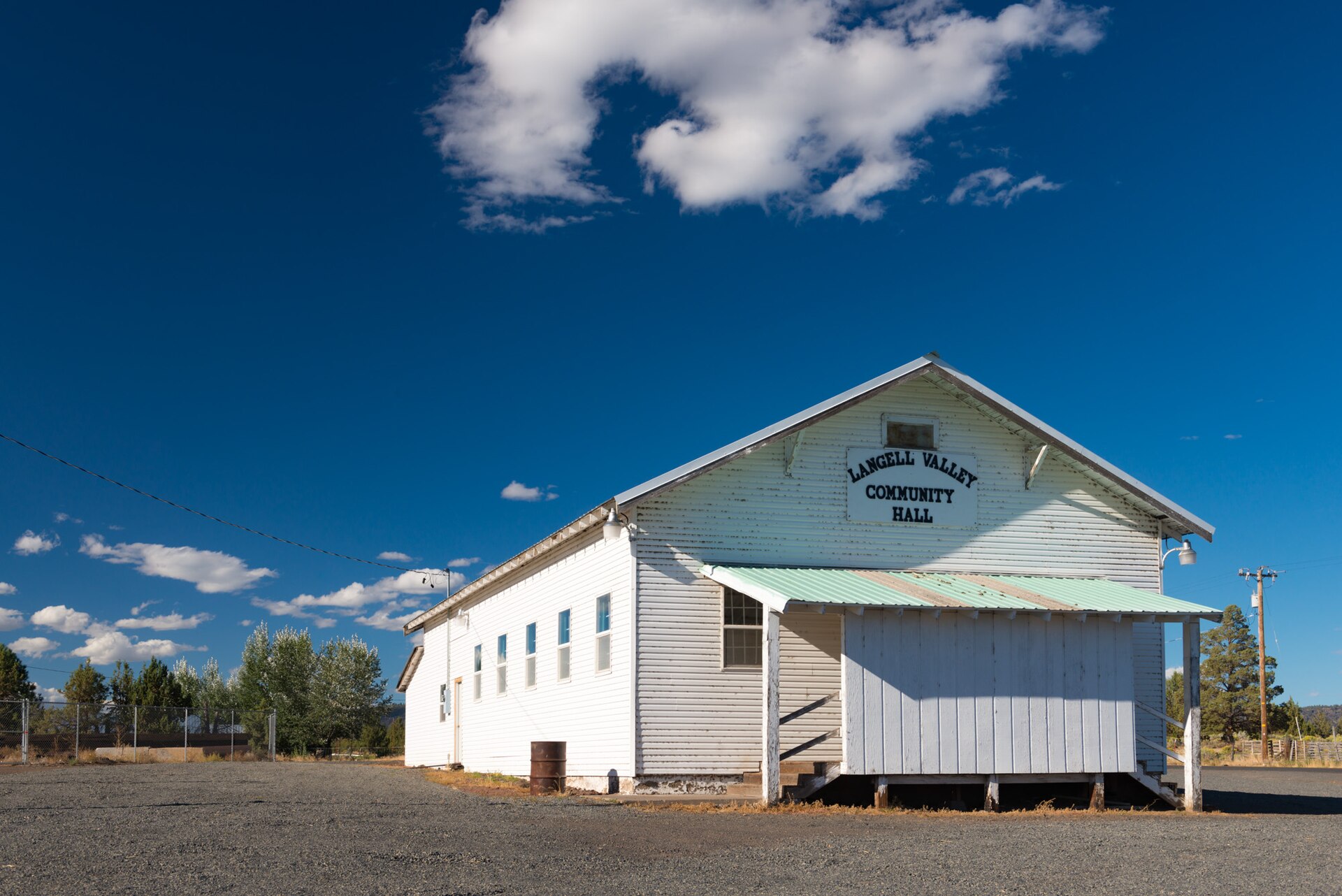
- Civic Landmarks & Czech Heritage: Historic halls, the beloved Malin Community Park, and decades of annual festivals preserved Czech music, baking, and community fellowship deep in southern Oregon’s high desert.
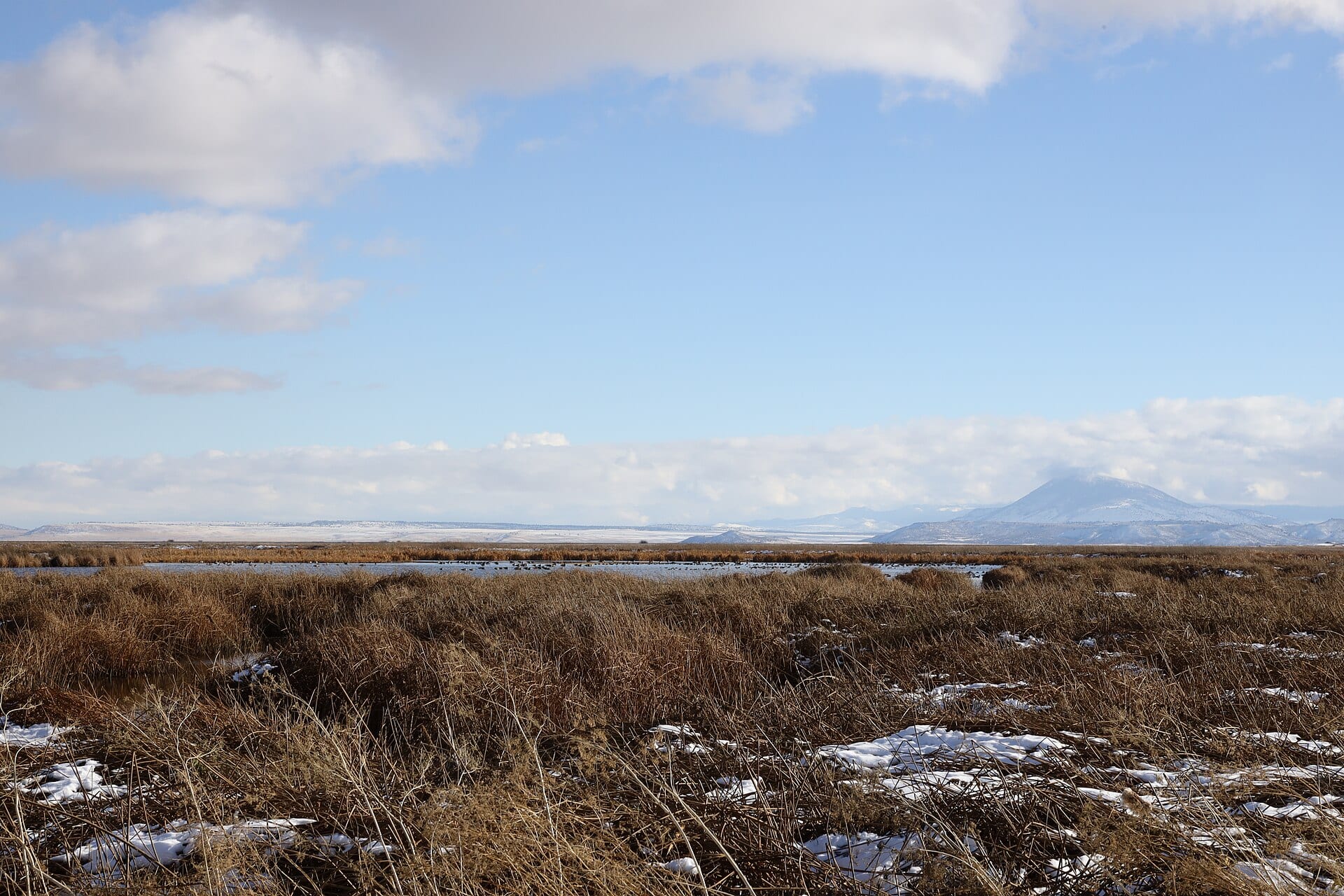
- Borderland Rimrock Geography: Just east and south of town, sagebrush escarpments rise abruptly above the flat reclaimed floor—framing sweeping golden-hour shadows across barns, windbreaks, and irrigation checks.
“Circle above Malin at sunset and you see more than crop geometry—you see the enduring footprint of families who hauled lumber, dug ditches by hand, and turned sagebrush benchland into home.”
Explore Further
Pair this dispatch with our companion 4K aerial reel over the Malin borderlands and the nearby Tulelake basin to see how irrigation ditches linked neighboring communities across state lines.
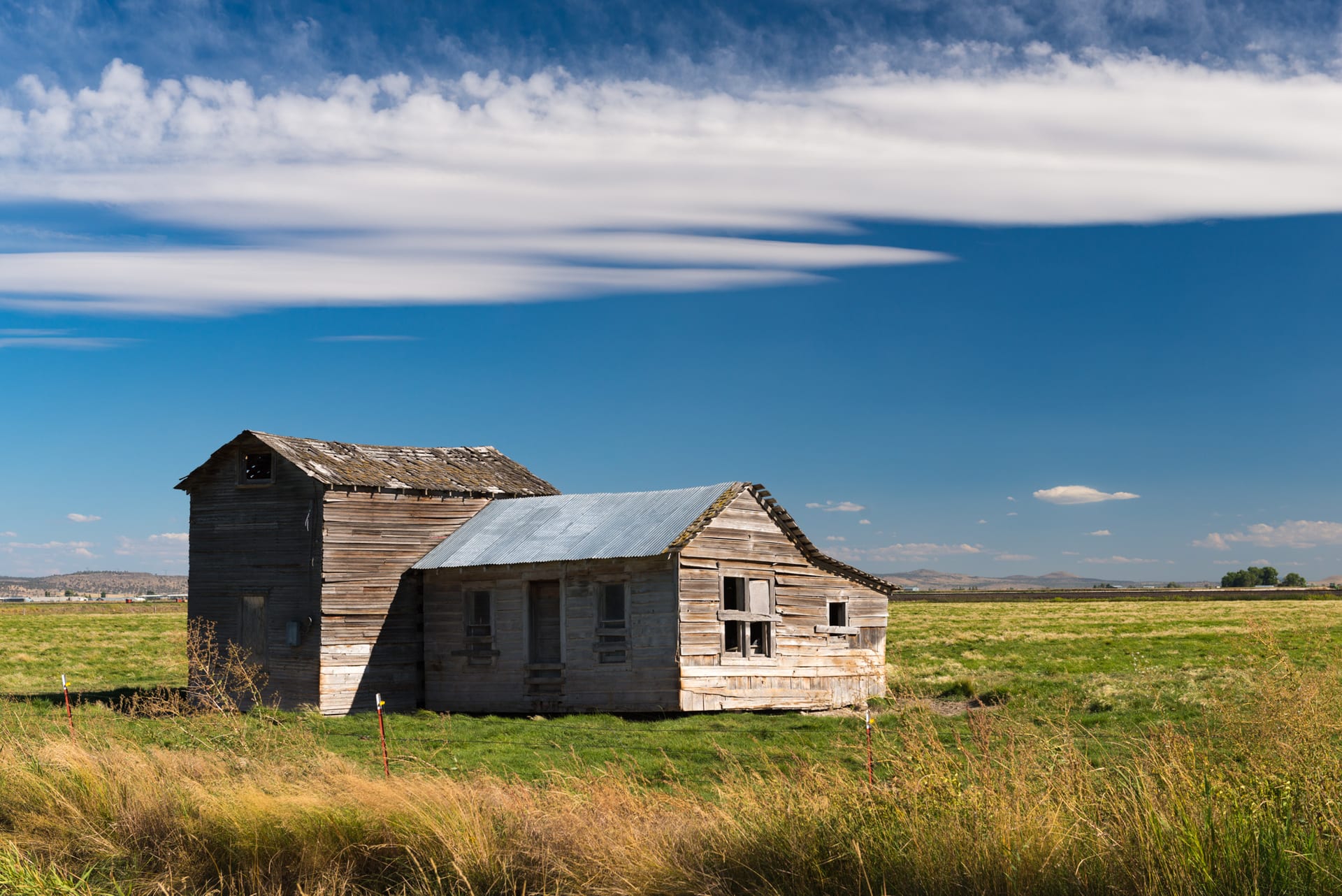
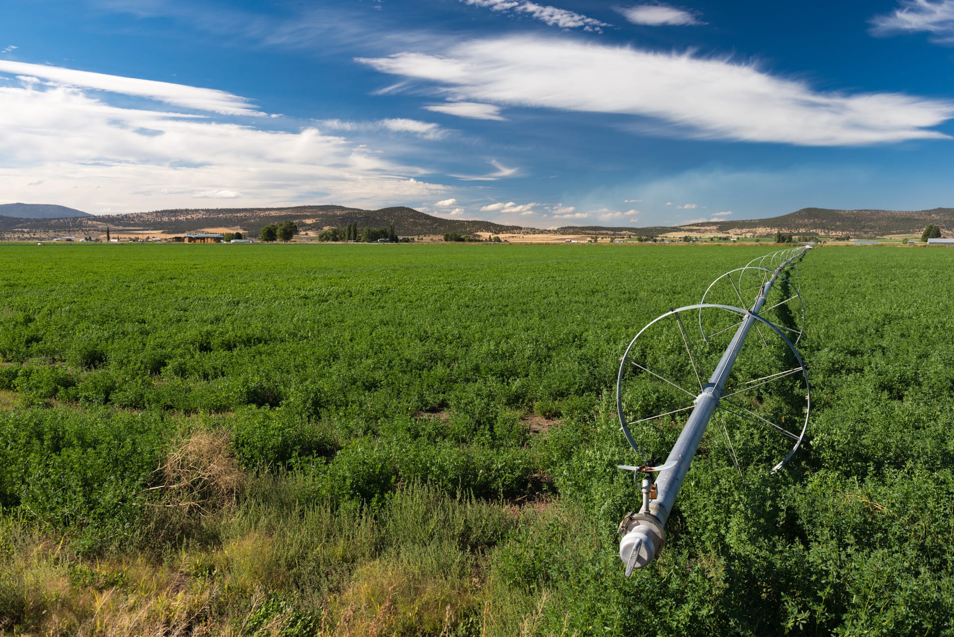 Reference Plate: Irrigated farmland and rimrock hills along the Klamath Falls–Malin Highway near Malin. Photo by Gary Halvorson, Oregon State Archives (CC BY 4.0).