High-Resolution Aerial Archive
Subscribe on YouTube ↗
4K Drone Video Showcase
Stream full-resolution aerial surveys of the Klamath Basin right here, or subscribe on YouTube for new 4K 60fps historical expeditions as they are published.
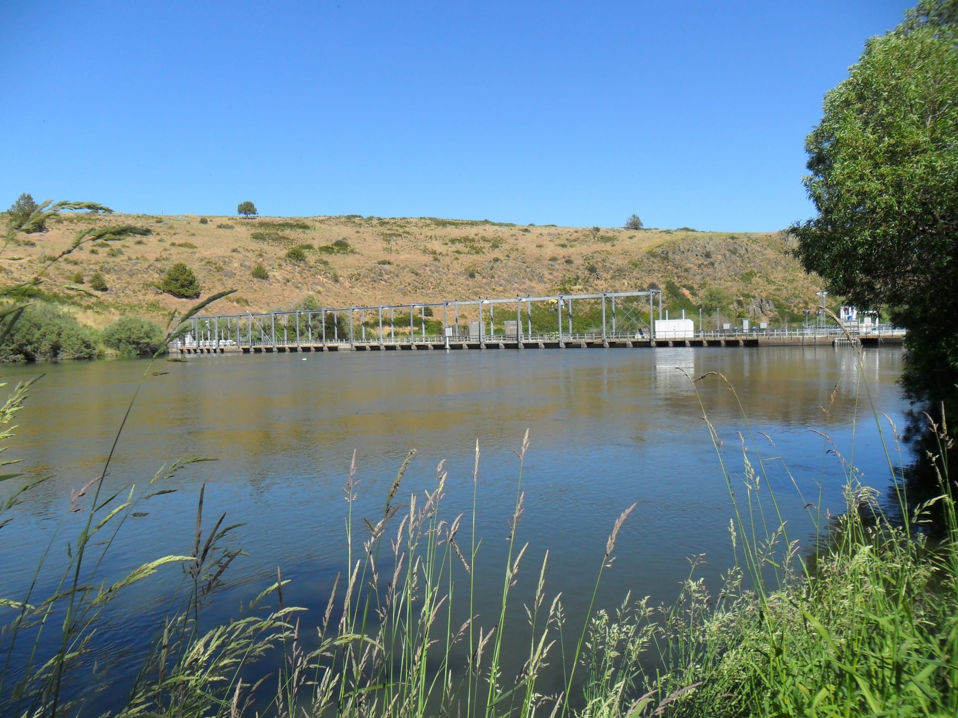
Link River at Golden Hour: The Shortest River That Built a Basin
Tracing the 1.2-mile basalt corridor connecting Upper Klamath Lake to Lake Ewauna—site of Linkville’s founding, early canal works, and historic power flumes.
Select Aerial Flight Log (17 Cataloged Reels)
Across Every Platform