Tucked among tall ponderosa pines north of Upper Klamath Lake, Chiloquin sits at one of the most significant river junctions in southern Oregon: the meeting of the crystal-clear Williamson River and the winding Sprague River.
Long before rail lines or sawmills arrived, these cold-water confluence flats were an enduring cultural and seasonal gathering heartland for the Klamath, Modoc, and Yahooskin peoples. The modern town takes its name from Chief Chaloquin (Chiloquin), a respected Klamath leader who signed the Treaty of 1864 and helped guide his community through a tumultuous era of frontier transition. Today, Chiloquin remains the tribal headquarters of the Klamath Tribes.
Railroads, Sawmills & Highway 97 Americana
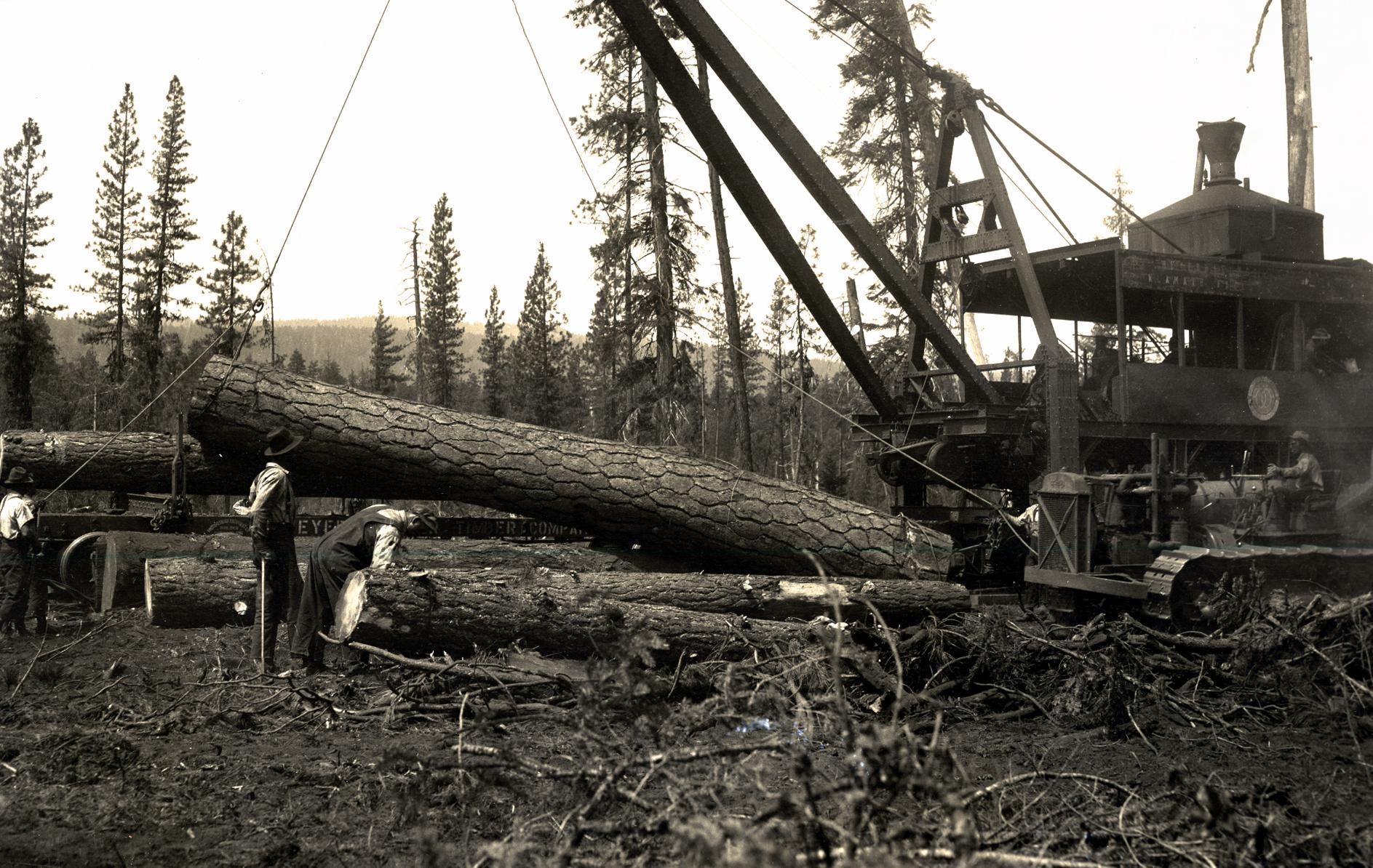
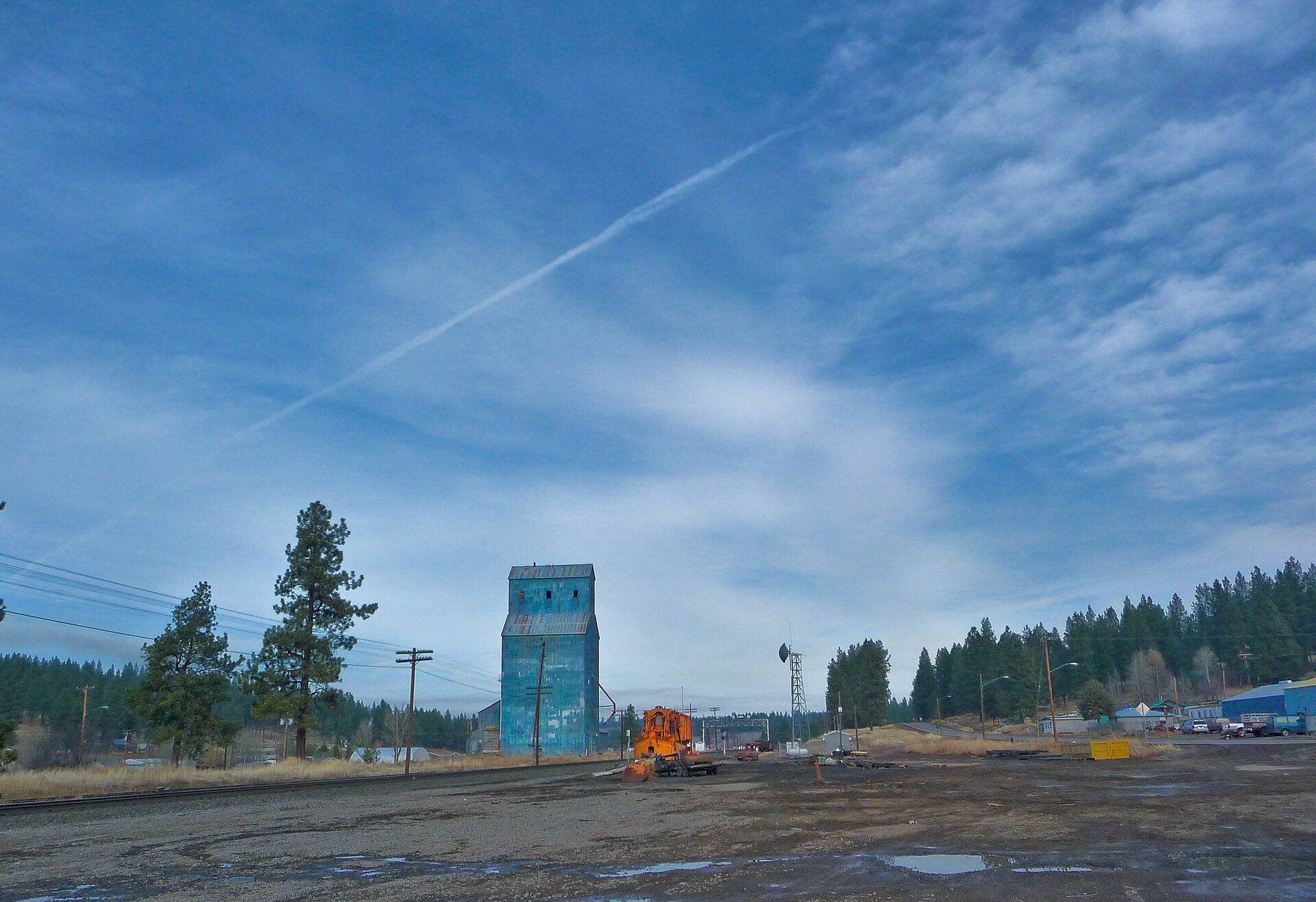
When the Southern Pacific Railroad pushed north through the basin in the early twentieth century, Chiloquin boomed into a major lumber shipping center. Towering mills—including the Chiloquin Lumber Company—processed massive ponderosa logs hauled out of surrounding timberlands, while grain elevators, depots, and roadside cafes sprang up along the U.S. Route 97 corridor.
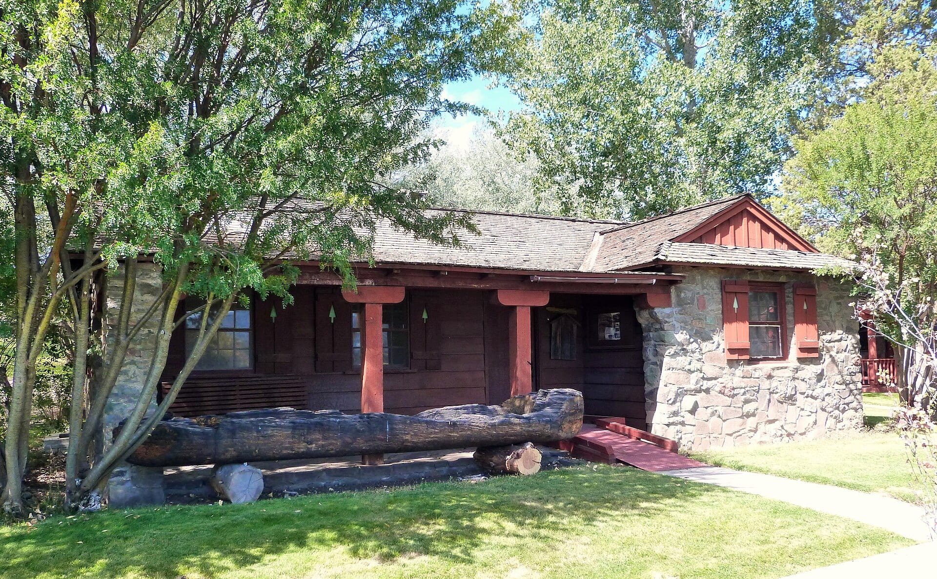
Just three miles north along Spring Creek sits Collier Memorial State Park, home to one of the finest outdoor logging museums in the Pacific Northwest, preserving steam donkeys, high-wheel log carts, and pioneer cabins beneath old-growth pines.
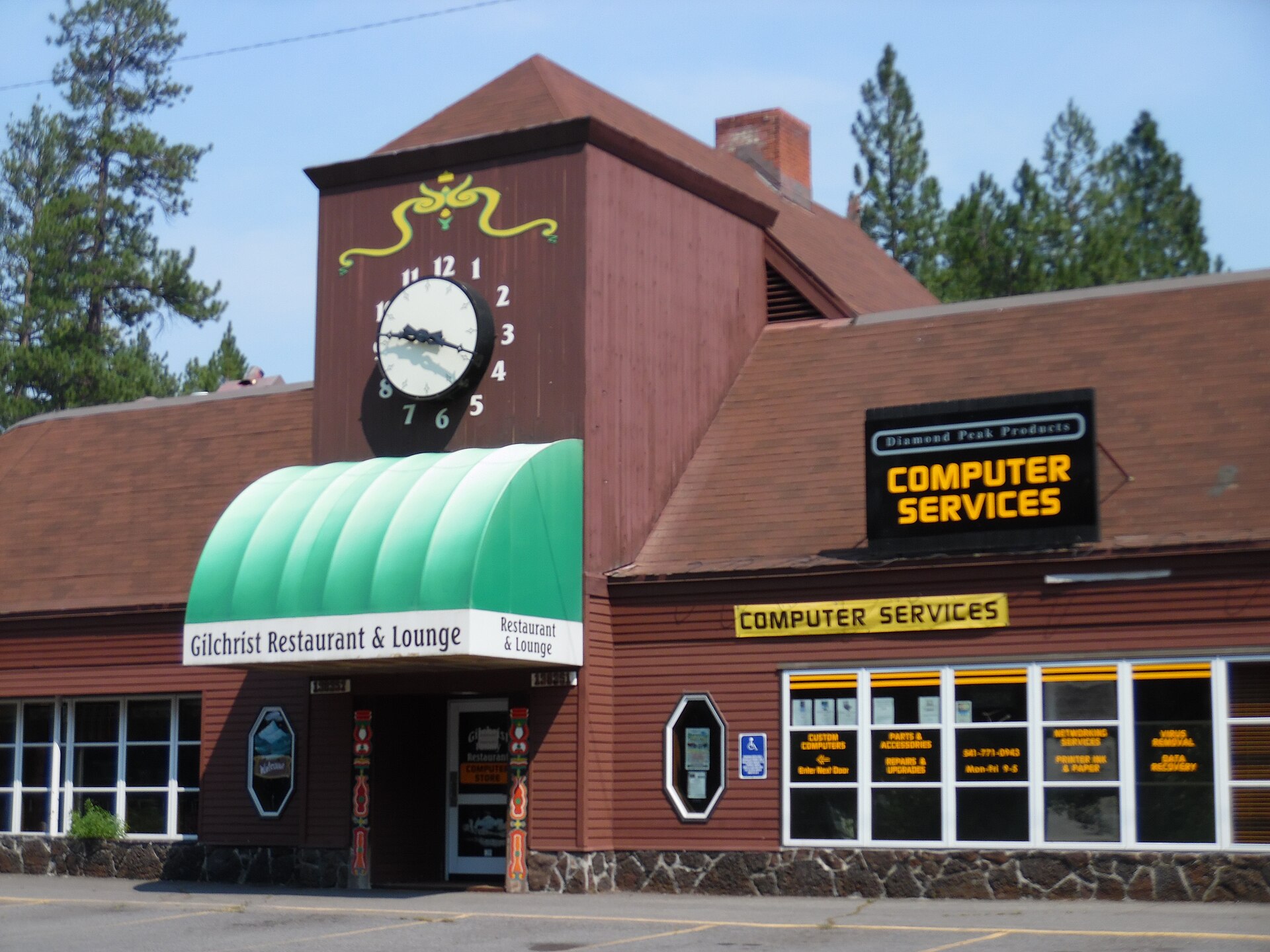
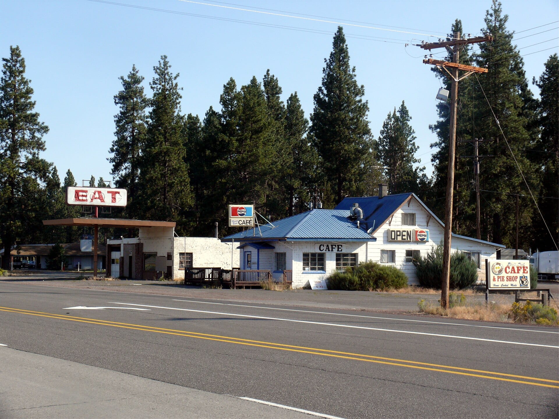 Reference Plate: Classic mid-century roadside cafe and diner along the Highway 97 corridor at Chiloquin, Oregon. Photo by David Wilson (CC BY 2.0, Wikimedia Commons).
Respectful Flight & River Notes
When documenting the Williamson and Sprague River valleys, we fly strictly over public or permitted airspace with full respect for Klamath Tribal sovereignty, private riverside lands, and bald eagle nesting corridors along the spring-fed waterways.