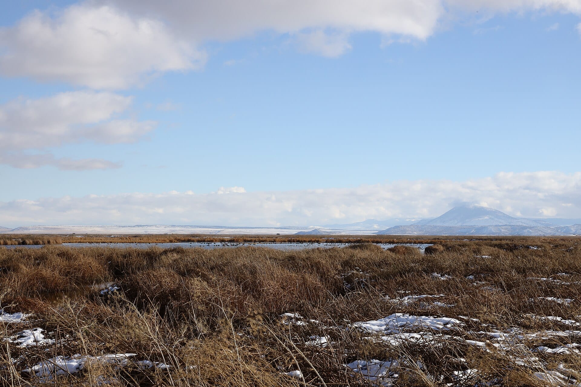
Few waterways in the American West behave quite like the Lost River. Rising from Clear Lake Reservoir in Modoc County, California, it loops north through Langell Valley, slips through the volcanic narrows at Olene Gap, winds past Merrill, and arcs back south into Tule Lake—crossing the Oregon–California border twice in a 60-mile closed-basin journey that naturally never reached the ocean.
Long before canals and diversion dams reshaped its course, the river earned its English name from early overland travelers on the Applegate Trail (opened in 1846), who marveled at a deep, sluggish channel bordered by tule marshes that seemed to vanish into the alkaline flats of Tule Lake.
Landmarks Revealed from 350 Feet
Flying the Lost River corridor in late-afternoon raking light connects scattered chapters of nineteenth- and early twentieth-century basin history into a single continuous map:
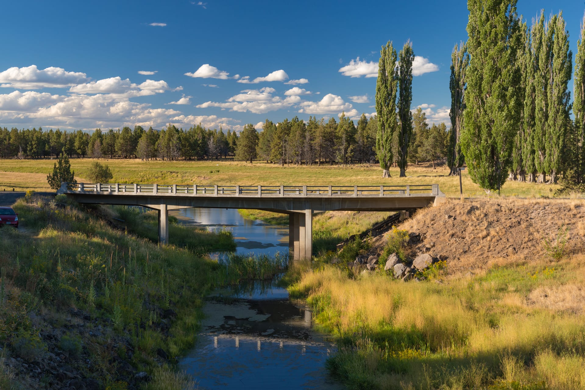
- The Stone Bridge Crossing (Natural Bridge): Near the river’s southern reach, a submerged ridge of porous basalt formed a natural ford used for generations by Modoc travelers and later by 1840s emigrant wagons—a landmark now preserved near the Merrill–Tulelake corridor.
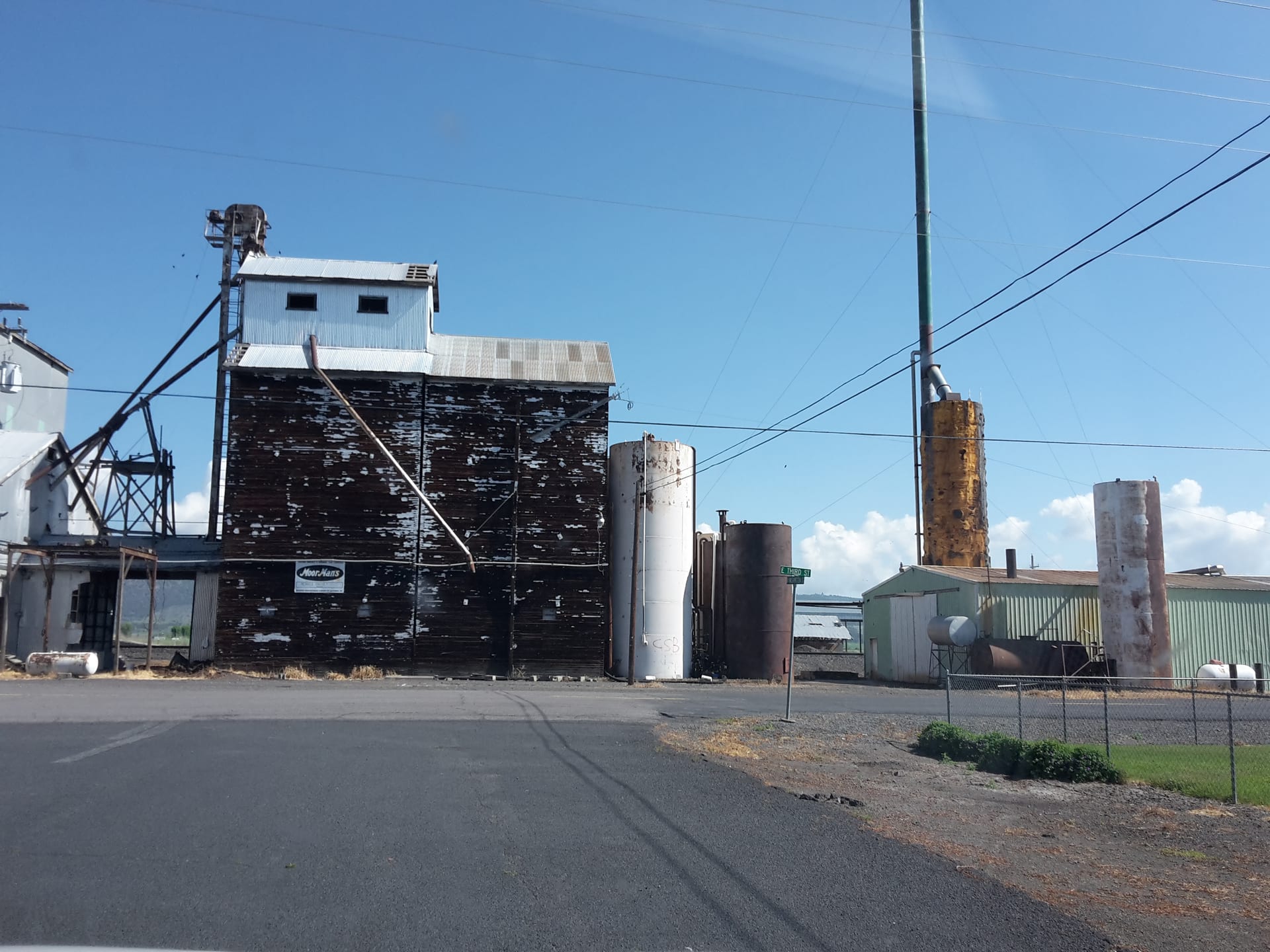
- Olene Gap & Historic Milling: Where the river squeezes between dark fault-block ridges east of Klamath Falls, early settlers established Olene—once home to hot mineral springs, stage stops, and a vital bridge linking Poe Valley to the basin floor.
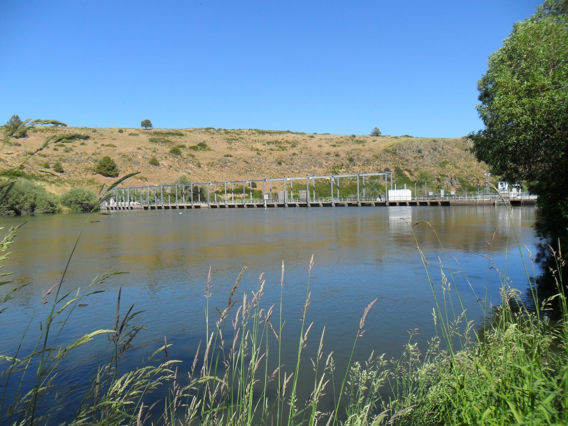
- The 1912 Lost River Diversion Channel: Built under the federal Klamath Project, this eight-mile engineered cut near Wilson Dam enabled engineers to route spring floodwaters westward into the Klamath River, lowering Tule Lake and opening tens of thousands of acres to agriculture.
“From the air, you can read the Lost River’s double life in a single frame: ancient oxbows left behind by millennia of spring runoff sitting beside ruler-straight reclamation channels cut a century ago.”
Flight & Viewing Notes
Because the Lost River corridor weaves through both working ranchland and wildlife habitat, all flights were staged from lawful public access points outside refuge zones, keeping generous vertical separation from migratory waterfowl along the banks.