Fifty miles east of Klamath Falls along Highway 140, the winding meadowlands of the Sprague River Valley open into the quiet timber and ranching community of Bly. Settled in the 1870s and named for the Klamath word p’lai (meaning “high up”), the valley quickly became a vital corridor for cattle drives, freight wagons, and ponderosa pine logging camps.
The OC&E Railroad & 1930s Timber Boom
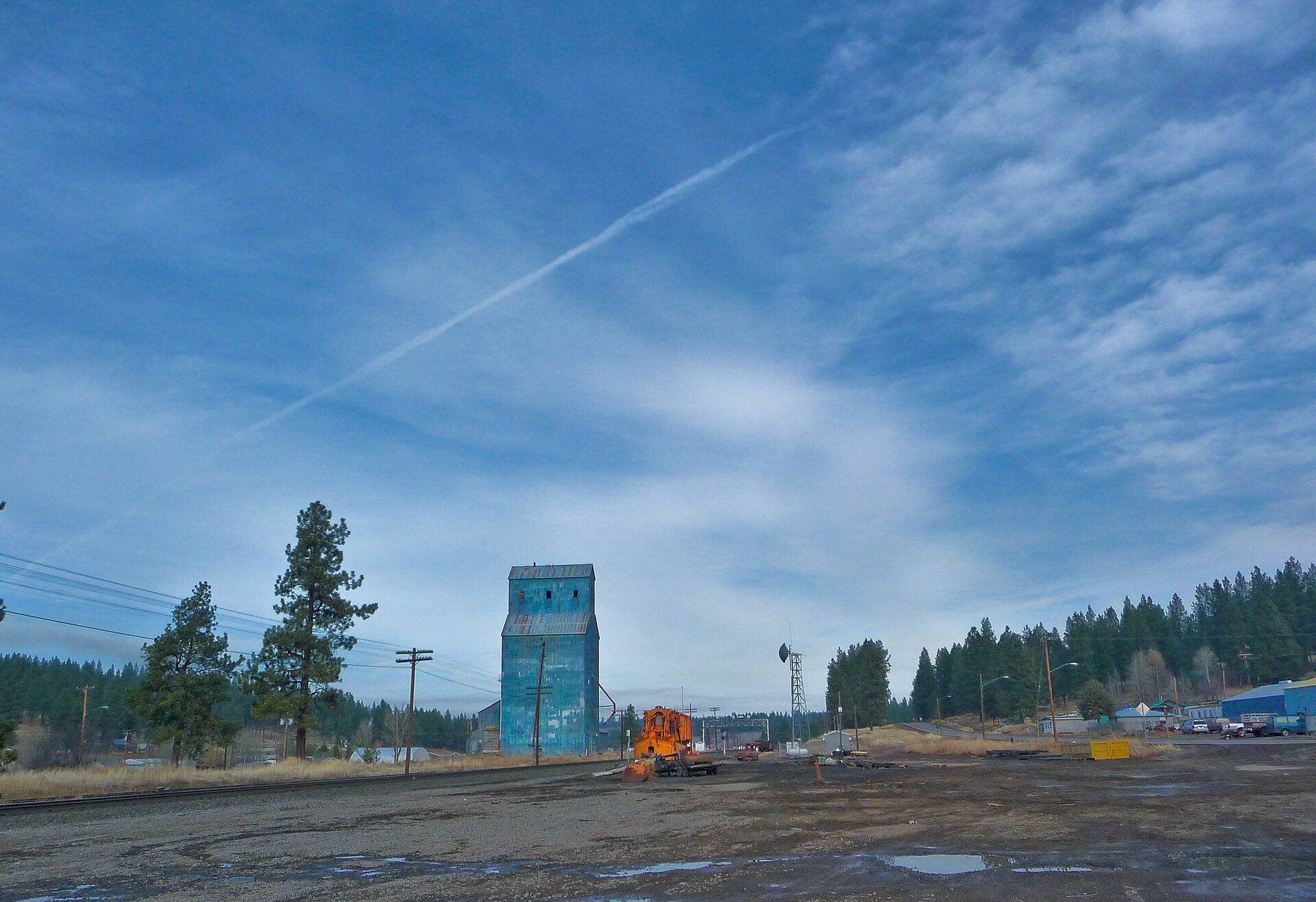
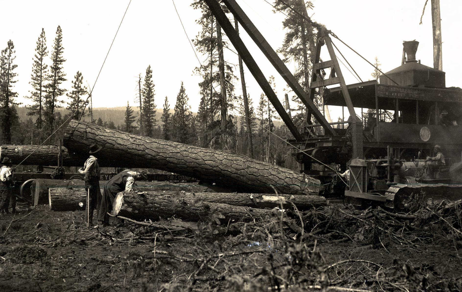
In 1929, the Oregon, California & Eastern Railway (OC&E) reached Bly, linking the vast pine forests of eastern Klamath County directly to the mill complexes of Klamath Falls. Overnight, Bly became the railhead for Weyerhaeuser and Ivory Pine logging operations—its yards humming with Shay steam locomotives, log loaders, and flatcars stacked high with old-growth timber.
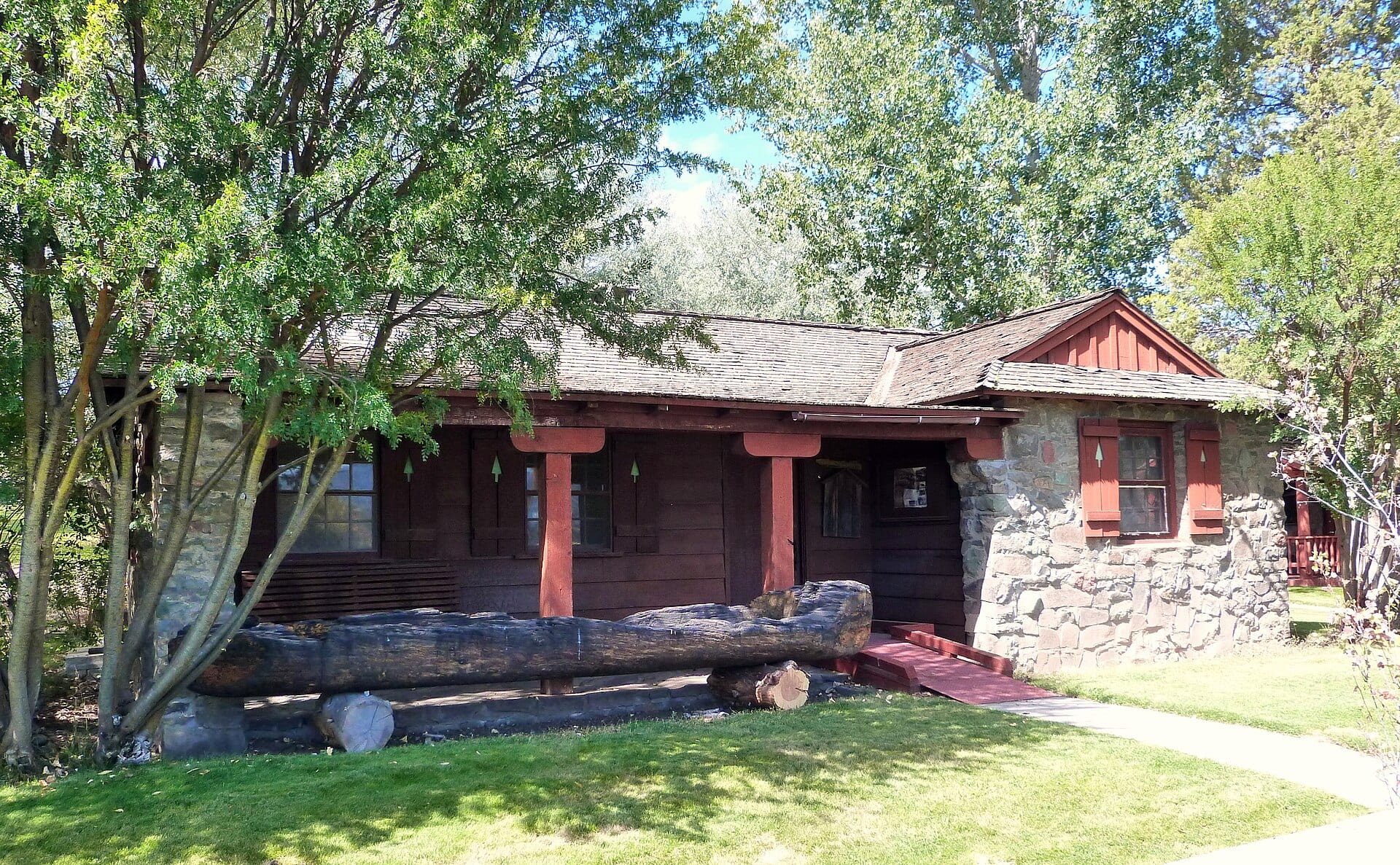
During the Great Depression, Civilian Conservation Corps (CCC) crews also constructed the Bly Ranger Station (1936–1941) in the classic Cascadian rustic style of native volcanic stone and heavy timber—structures that still stand on the National Register of Historic Places. Today, the former OC&E railbed forms the OC&E Woods Line State Trail, Oregon’s longest linear state park, running more than 100 miles from Klamath Falls to Bly and Sycan Marsh.
May 5, 1945 — The Mitchell Recreation Area Tragedy
Bly holds a solemn chapter in American World War II history. On May 5, 1945, Elsie Mitchell and five Sunday school children from Bly’s Christian and Missionary Alliance Church were on a picnic near Gearhart Mountain when they encountered a downed Japanese Fu-Go hydrogen balloon bomb that had drifted across the Pacific on the jet stream. The device detonated, taking all six lives—the only deaths on the continental United States resulting directly from enemy action during World War II. Today, the Mitchell Monument in the Fremont-Winema National Forest honors their memory beneath the pines.
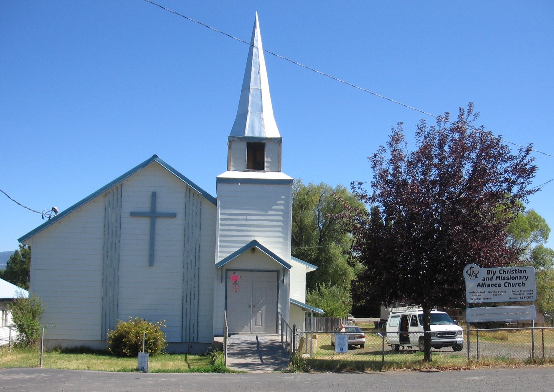 Archival Reference Plate: Standing Stone Church (formerly Bly Christian and Missionary Alliance Church), whose congregation suffered the May 5, 1945 balloon bomb tragedy. Photo by Otebig (CC BY-SA 3.0, Wikimedia Commons).
Aerial & Field Notes
From above the valley floor, the sinuous bends of the Sprague River, old railroad grades, and the dark forested ridges climbing toward Gearhart Mountain Wilderness illustrate why Bly has remained a crossroads of forestry, ranching, and backcountry history for more than a century and a half.