Travel north along Highway 97 near the northern edge of Klamath County and the endless lodgepole and ponderosa pine forest parts abruptly to reveal Gilchrist—one of the most remarkably preserved planned company towns in the American West.
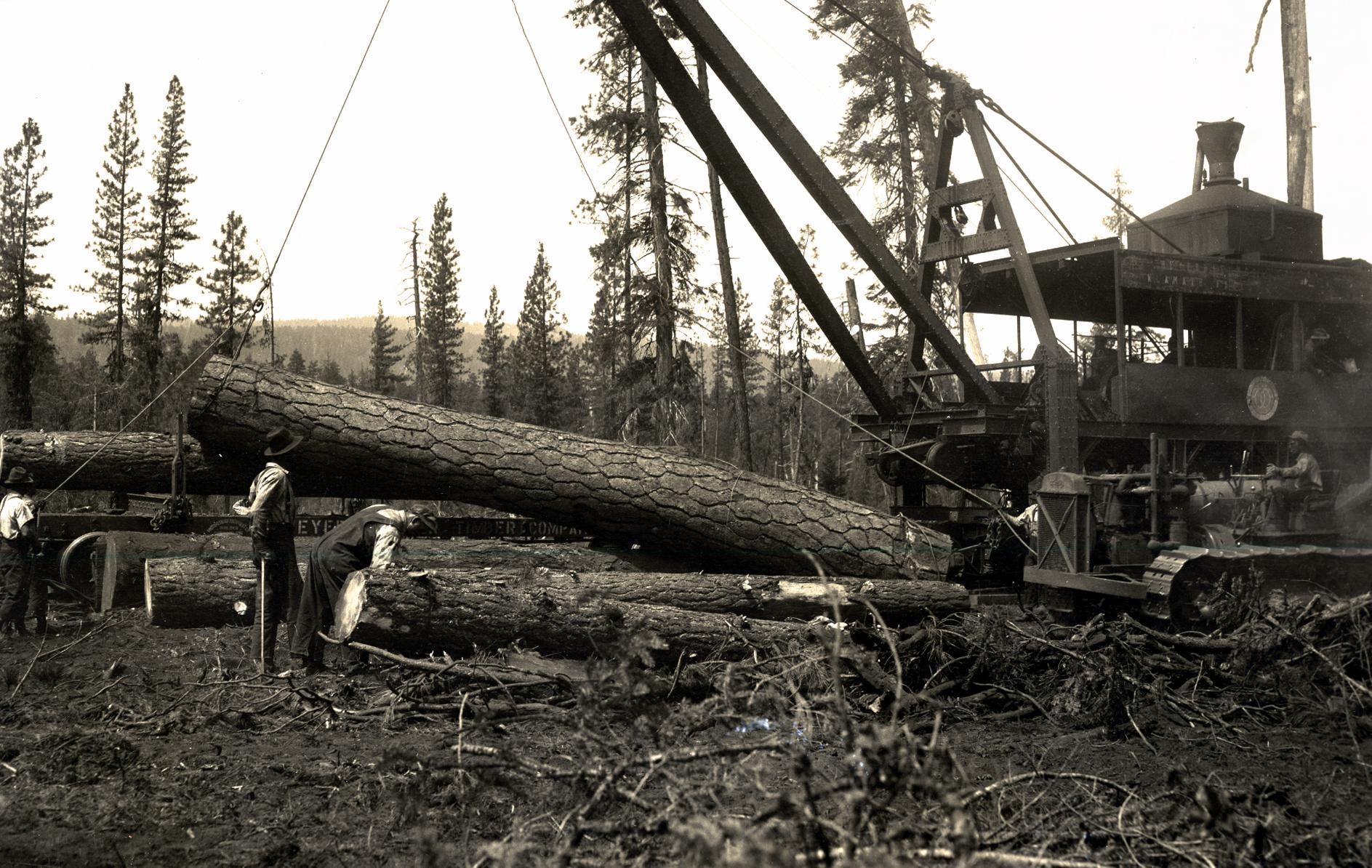
In 1938, facing depleted timber holdings in Mississippi, Frank W. Gilchrist and the Gilchrist Timber Company acquired nearly 100,000 acres of central Oregon ponderosa pine and hired Portland architect Hollis Johnston to design an entire town from the ground up beside the Little Deschutes River.
Ahead of Its Time in the High-Elevation Pines
Rather than throwing up temporary rough-sawn shanties, the company designed Gilchrist for permanence and brutal Cascade winters:
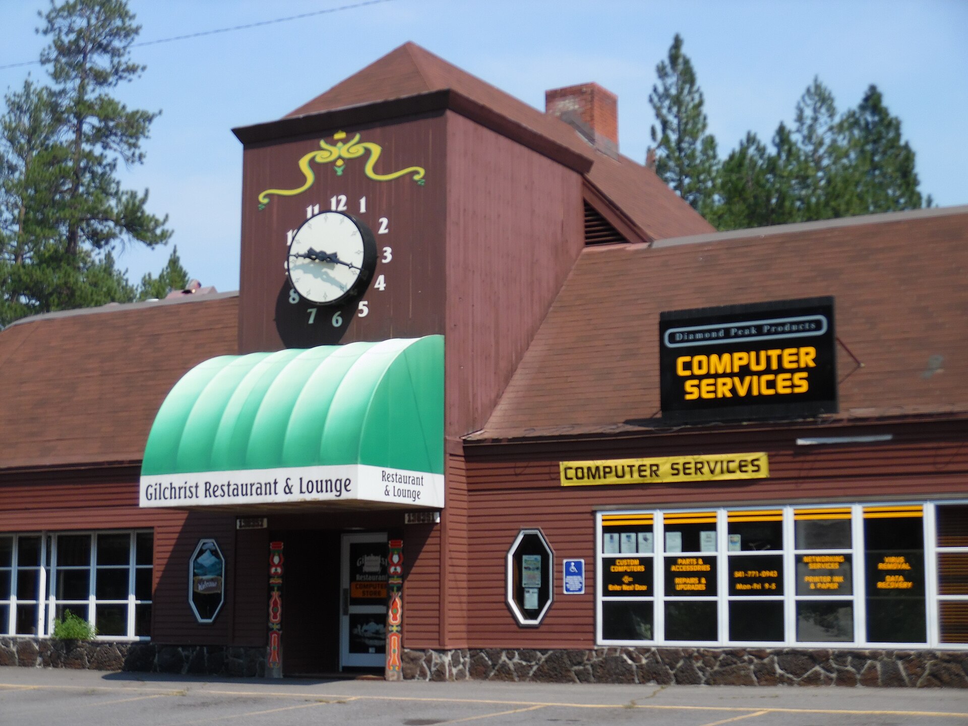
- The Gilchrist Mall (1938): Built as a unified, snow-sheltered commercial block with a distinctive clock tower, theater, post office, general store, restaurant, and bowling alley under one connected roof—widely recognized as one of Oregon’s earliest shopping centers.
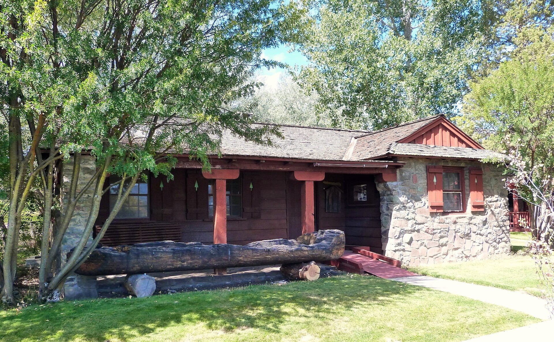
- Curved Residential Lanes: Company homes were painted in muted forest colors and tucked neatly among standing pines along gently curving streets with underground utilities—unheard of in rural 1930s Oregon.
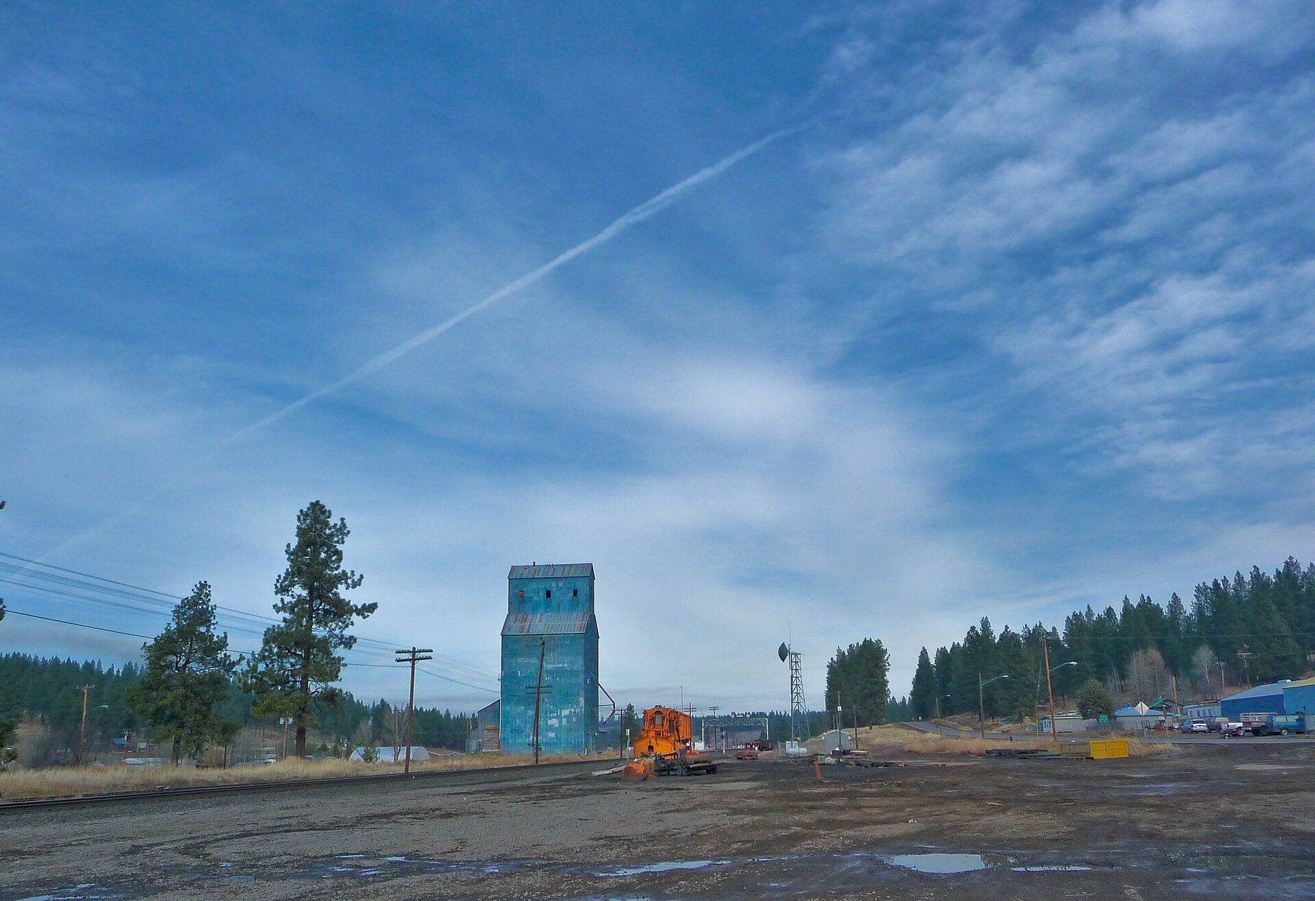
- The Klamath Northern Railway: A 10.6-mile private short-line railroad built by the company to haul finished pine lumber from the Gilchrist millpond directly to the Southern Pacific main line at Gilchrist Junction.
“Gilchrist wasn’t built to vanish when the first ridge was logged—every stone foundation and timber beam along Highway 97 still carries the blueprint of 1938.”
Today, surrounded by the Gilchrist State Forest, the town’s historic mill and landmark clock-tower mall remain unmistakable milestones for anyone traveling between Klamath Falls and Bend.