East of Klamath Falls and tucked behind the basalt ridges flanking Bonanza lie two of the most scenic, least-hurried agricultural corridors in the entire basin: Poe Valley and Langell Valley. Linked hydraulically by the meandering upper Lost River, both valleys carry the names of pioneers who arrived in the late 1860s and helped anchor Klamath County’s cattle and hay-ranching heritage.
Pioneer Roots: Arthur Langell & John Poe
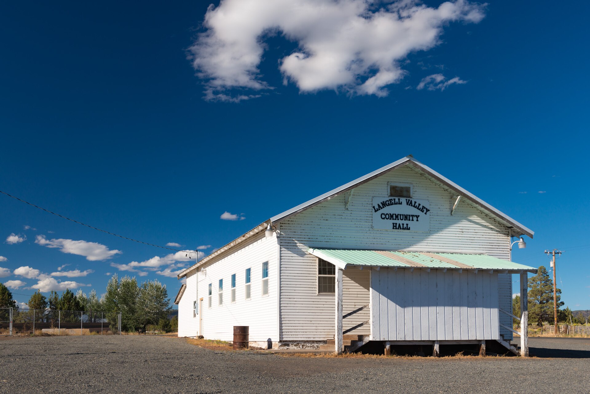
- Langell Valley & Lorella: Settled around 1869–1871 by Arthur Langell and fellow cattlemen drawn to the lush natural bunchgrass and perennial waters flowing north out of Clear Lake, the valley soon supported scattered schools, post offices, and the hamlet of Lorella. The historic Langell Valley Community Hall still stands as a proud symbol of rural fellowship, dances, and ranching gatherings across generations.
- Poe Valley: Extending northwest from Bonanza toward Olene Gap along the Lost River benches, Poe Valley was named for pioneer rancher John Poe. Early freight roads and the Highway 140 corridor skirted its northern margin, while family ranches and irrigation canals transformed its flat floor into prime alfalfa and grain ground.
Wide Skies & Volcanic Rims from Above
Seen from an aerial vantage point, the contrast between valley floor and fault-block canyon walls is extraordinary—emerald irrigated pastures ending abruptly against juniper-studded basalt mesas and huge, uninterrupted high-desert sunsets.
 Reference Plate: Evening sunset clouds gathering over Poe Valley along Highway 140. Photo by Gary Halvorson, Oregon State Archives (CC BY 4.0, Wikimedia Commons).
Flight Ethics in Ranch Country
Because Langell and Poe Valleys remain active, multi-generational cattle and hay country, all filming respects private ranch fences, livestock, and seasonal wildlife corridors along the Lost River and Gerber Reservoir uplands.