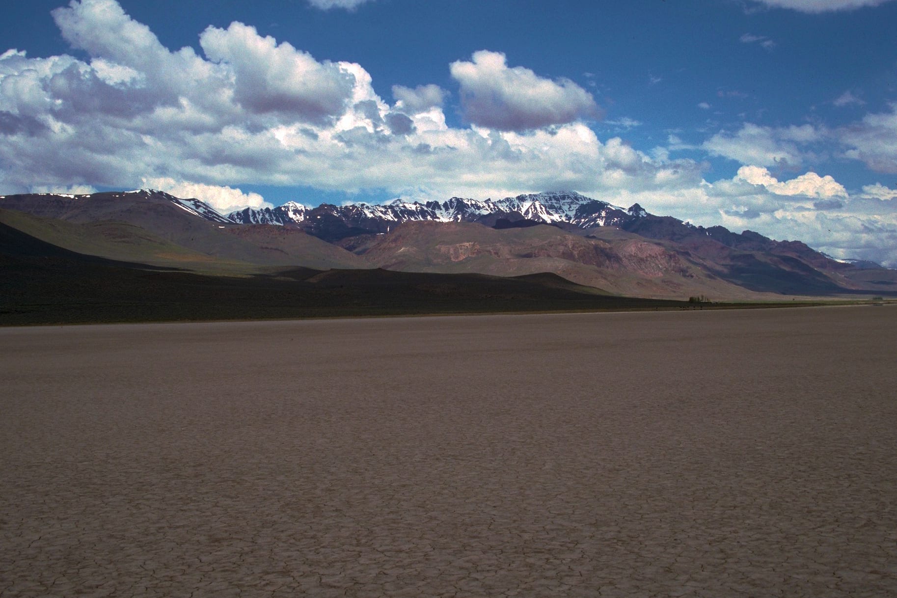
Drive east out of the Klamath Basin past Lakeview and the Warner Mountains and the roads grow longer, quieter, and wider until the horizon drops away completely into the Alvord Basin. Stretching roughly 12 miles long and 7 miles wide, the Alvord Desert is the sun-baked alkali remnant of an Ice Age pluvial lake that once filled this rain-shadowed trough to depths exceeding 200 feet.
Rising directly off the western edge of the flat white playa is the sheer eastern fault-block cliff face of Steens Mountain—soaring more than 5,000 vertical feet above the desert floor to 9,733 feet in one of the most dramatic topographic walls in the American West.
Why the Alvord Demands an Aerial Perspective
At ground level, the playa feels infinite and disorienting; there are almost no vertical references to measure distance. Climbing to 395 feet unlocks the grand geology and human history tucked along the desert rim:
- Polygonal Alkali Crusts: Dry summer winds bake the fine silt into vast geometric mosaics of pale ivory polygons that glow warm copper and rose in the final twenty minutes before sunset.
- Steens Mountain Fault Escarpment: Low-angle eastern light carves deep relief into glacial gorges, talus fans, and snow-filled couloirs towering straight above the arid floor.
- Outback Ranching & Land-Speed Heritage: Along the playa’s western bench sit geothermal springs, historic sheep and cattle ranching routes tied to early southeastern Oregon pioneers, and miles of dead-flat clay where modern land-speed record attempts and sail-cart runs have left fleeting tracks erased each winter by shallow snowmelt.
“Out on the Alvord, silence has a physical weight. From four hundred feet up, a single pickup truck looks like a speck of dust crossing an inland ocean of salt and light.”
Expedition & Leave-No-Trace Notes
The Alvord playa is managed primarily by the BLM (with private access points along the western margin such as Alvord Hot Springs). Never drive onto the lakebed when wet—soggy alkali clay swallows vehicles and leaves scars for years—and always verify current BLM / Wilderness Study Area boundaries before launching any drone near the Steens Mountain wilderness slopes.
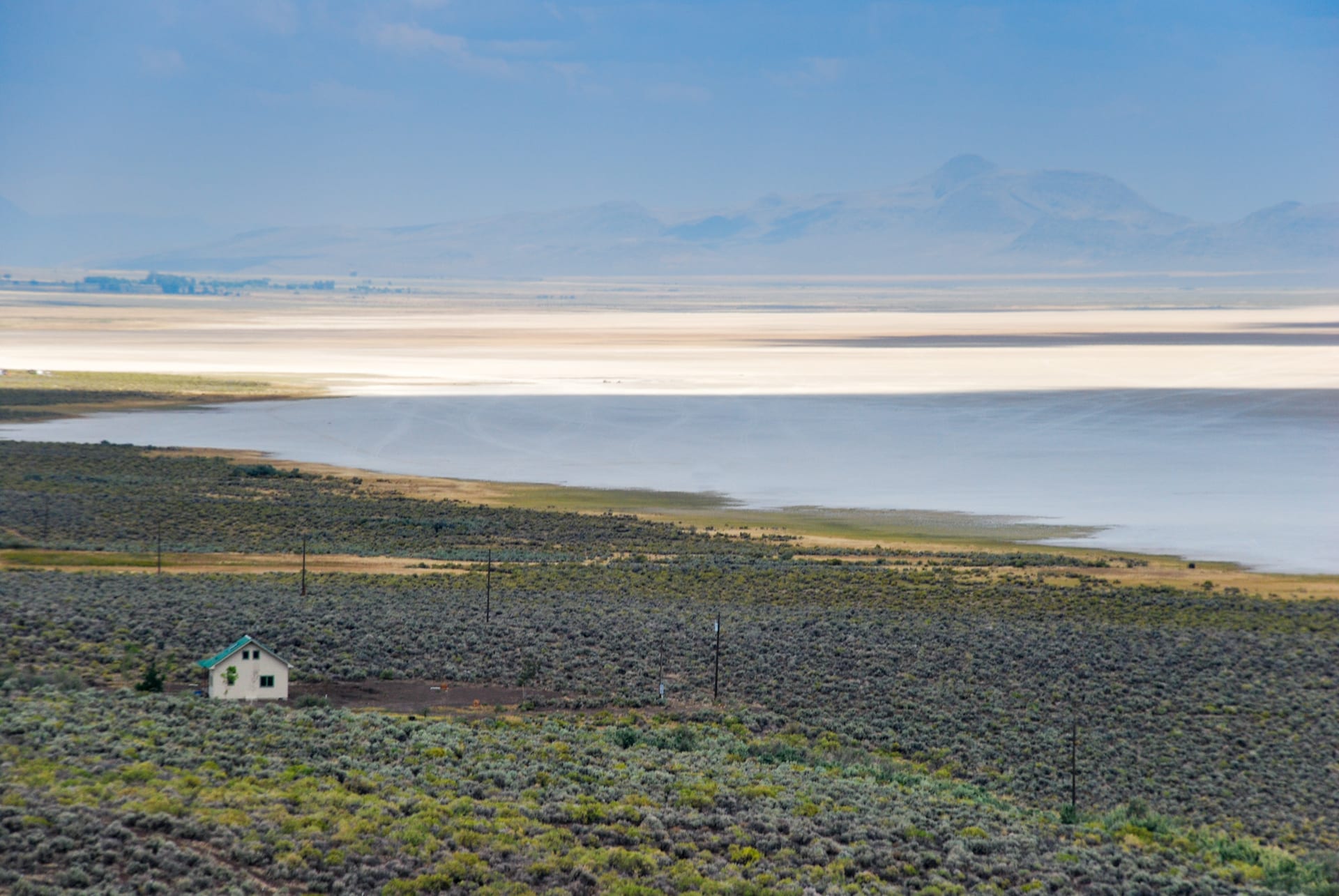 Reference Plate: Looking out across the Alvord Desert from East Steens Road, Harney County, Oregon. Photo by Gary Halvorson, Oregon State Archives (CC BY 4.0).