Set high on a quiet juniper-and-maple hillside at Upham Street and Lexington Avenue in Klamath Falls, the Linkville Pioneer Cemetery is an open-air ledger of the people who built the Klamath Basin. Established in the 1870s when the riverside settlement below was still known as Linkville, the grounds look out across the rooftops of downtown toward the shimmering waters of Upper Klamath Lake and the Cascade crest.
Passing Beneath the Lava-Rock Arch
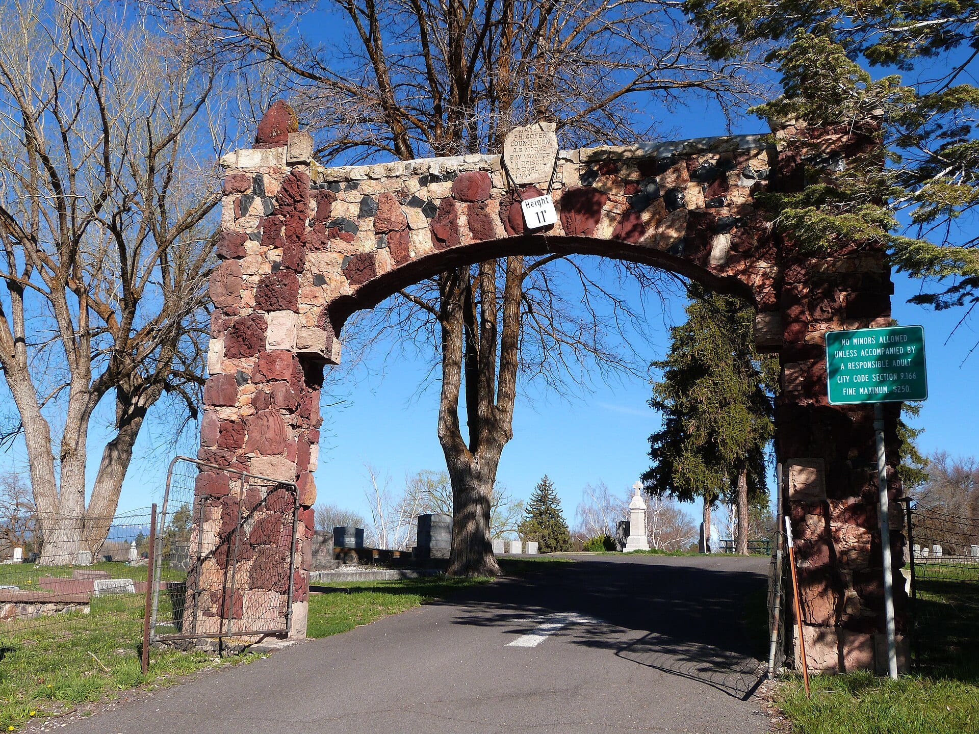
Visitors entering from the east pass beneath a striking volcanic stone archway crafted from native red scoria and dark basalt—a signature Klamath Basin masonry tradition that greets historians and genealogists stepping onto the terraced hillside.
Inside the weathered wrought-iron enclosures and sandstone coping walls rest generations of early basin figures:
- George Nurse (1835–1908): The pioneer merchant and ferry operator who founded Linkville beside the Link River in 1867 and helped shape Klamath County’s early civic life.
- Frontier & Military Veterans: Marked graves of Civil War, Modoc War (1872–1873), and Spanish–American War veterans alongside homesteaders, timber barons, doctors, and early Klamath Falls merchants.
- Victorian Stonecraft: Hand-carved marble obelisks, lamb-topped infant monuments, and Woodmen of the World tree-stump headstones weathered by more than a century of high-desert freeze-and-thaw cycles.
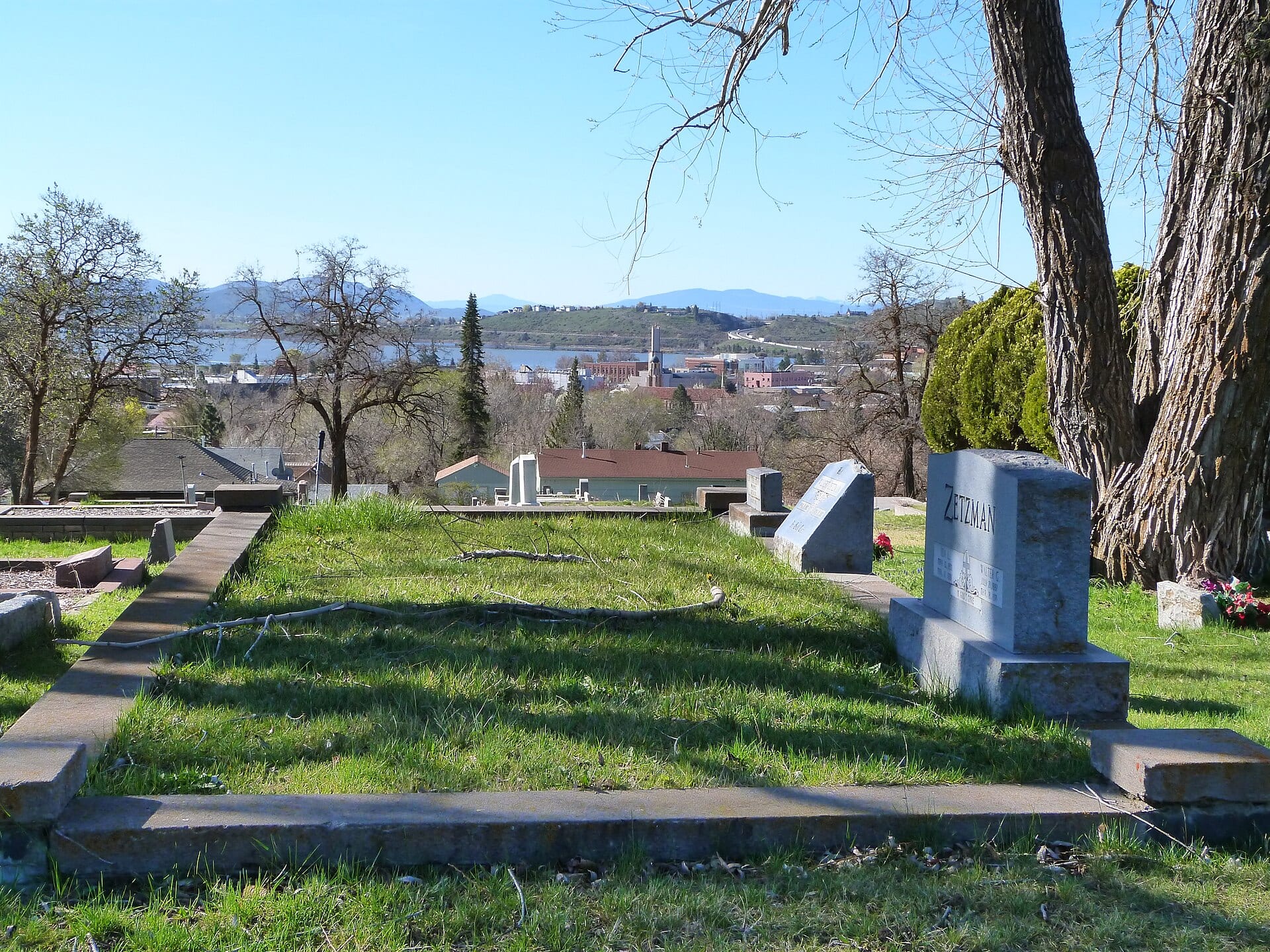 Reference Plate: Historic family plots inside Linkville Pioneer Cemetery looking west across downtown Klamath Falls toward Upper Klamath Lake. Photo by Ian Poellet (CC BY-SA 4.0, Wikimedia Commons).
Respectful Documentation
Historic cemeteries are sacred spaces of community memory. Ground photography and elevated perspective shots are always captured respectfully, with zero disturbance to visitors, services, or fragile stone monuments.