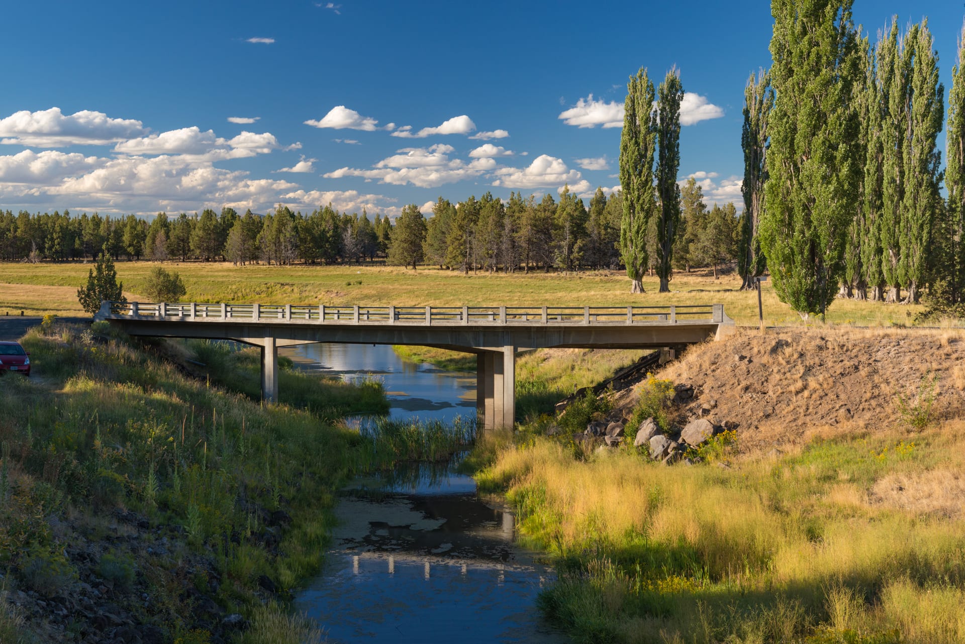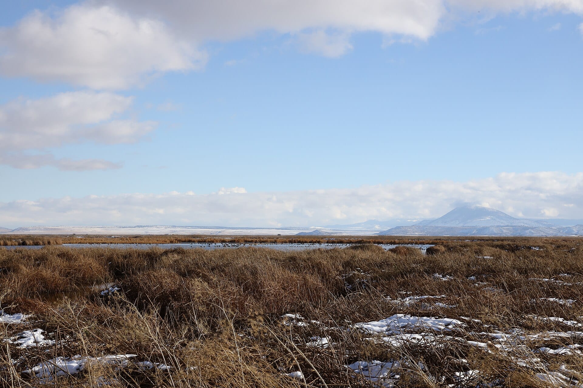
Measuring barely 1.2 miles from its headwaters at Upper Klamath Lake to its outflow into Lake Ewauna, the Link River is among the shortest rivers in the United States—yet from 340 feet above the canyon rim, its historical footprint dominates the entire western edge of Klamath Falls.
For millennia prior to Euro-American settlement, the Klamath peoples gathered along these rocky cascades—known as Yulalona—where seasonal migrations of suckers (c’waam and koptu) and salmon sustained riverside camps. When pioneer George Nurse established a ferry and trading settlement near the river’s southern crossing in 1867, he named the town Linkville after the short waterway joining the two lakes.
Seeing the Old Infrastructure from Above
Walking the Link River Trail at ground level reveals mossy basalt ledges and quiet pools, but an aerial pass in late-afternoon raking light exposes the subtle geometry of more than a century of engineering:
- Historic Power Flumes & Canals: Long timber and concrete raceways carved directly into the west bank carried water to early flour mills, sawmills, and the region’s first hydroelectric turbines.
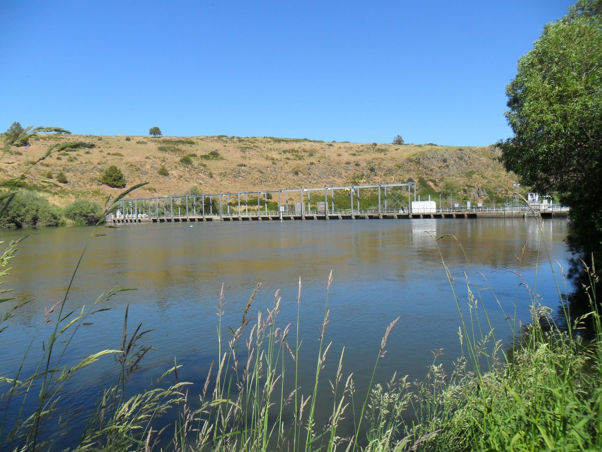
- The 1921 Link River Dam: Constructed by the California Oregon Power Company (COPCO) under contract with the U.S. Reclamation Service, the dam permanently altered the natural reef that once regulated Upper Klamath Lake’s seasonal rise and fall.
- Timber Boom Remnants: In the low-water months, submerged pilings and rock cribs near Lake Ewauna still trace the log-sorting ponds that fed Klamath Falls’ massive 20th-century pine mills.
“From the air, a single mile of river reads like an open ledger—prehistoric lava benches on one bank, nineteenth-century millraces on the other, and the steel geometry of the reclamation era spanning the gap between.”
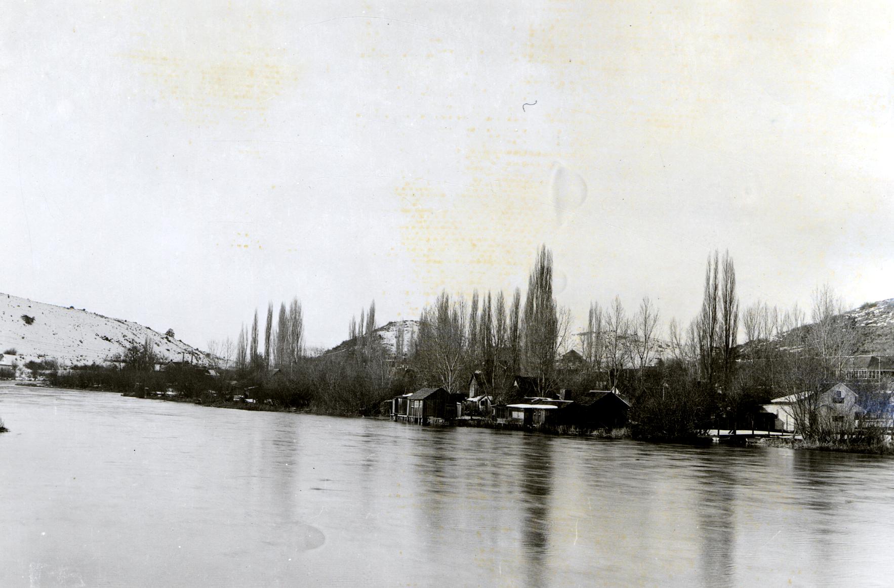 Archival Reference Plate: Link River, Klamath Falls, Oregon, c. 1922. Photograph by F. Paul Keen, USDA Forest Service (Public Domain).
Flight Notes & Preservation
This flight was conducted outside restricted airspace during calm golden-hour winds to highlight the shadow relief along the historic canal walls. When visiting the Link River Trail on foot, please stay on designated paths to protect sensitive shoreline wildlife and pelicans that feed below the dam throughout spring and summer.