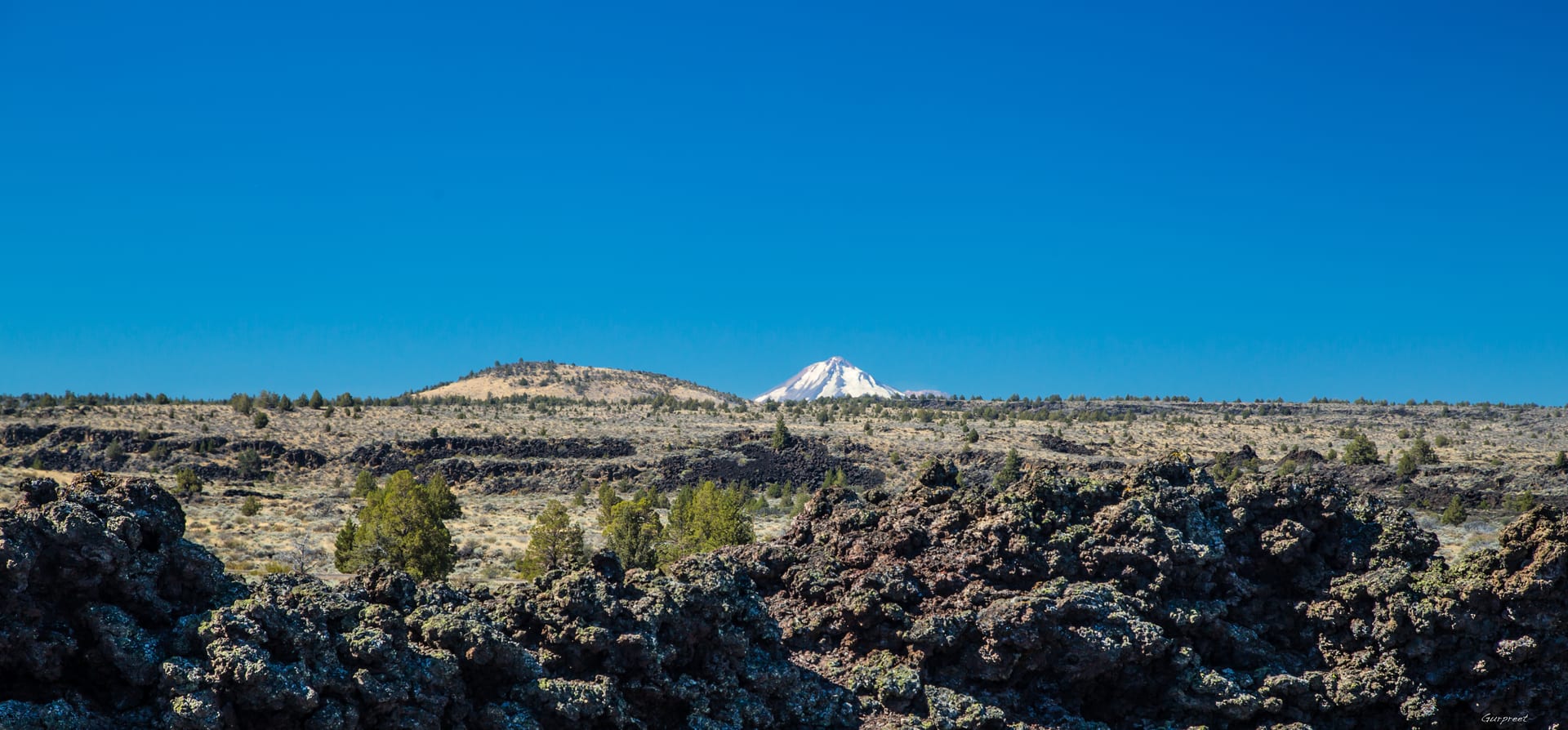
Stretch across the Oregon–California border south of Tulelake and the soft lacustrine flats of the Klamath Basin abruptly give way to blackened waves of Medicine Lake volcano basalt. Here, cooling lava flows buckled into fissures, collapsed caves, and razor-edged pressure ridges that remained virtually invisible until you were standing right at their lip.
During the winter and spring of 1872–1873, this stark volcanic landscape became the center of the Modoc War. Led by Kintpuash (known to settlers as Captain Jack), a small band of Modoc families held out for months inside the natural basalt fortifications along the southern shoreline of historic Tule Lake against a U.S. Army force many times their size.
Reading Volcanic Terrain from the Sky
Only from an elevated vantage point does the true strategic geography of the southern basin snap into focus:
- Natural Trench Networks: Collapsed lava tubes created interconnected sunken corridors that sheltered defenders from artillery fire while offering unobstructed sightlines north across the former lakebed.
- The Vanished Shoreline: Where golden agricultural fields and alkali flats stretch today, nineteenth-century military maps show the broad open waters of Tule Lake lapping directly against the northern toe of the lava flows.
- Rimrock Corridors: Fault-block ridges such as Gillem Bluff frame the entire western approach, acting like a natural amphitheater wall rising hundreds of feet above the basin floor.
“History in the high desert is written directly into volcanic stone. Every ridge line and dry shoreline tells you why people traveled, sheltered, and fought where they did.”
Captain Jack’s Stronghold & Lava Tube Caverns
Along the northern lava fields overlooking the old Tule Lake shoreline, the jagged volcanic ramparts of Captain Jack’s Stronghold preserve rock fortifications, sentry posts, and family caves where roughly 53 Modoc warriors and their families held off hundreds of soldiers through the bitter winter of 1872–1873. Across the surrounding monument, more than 800 lava tube caves—including Skull Cave, Valentine Cave, and Golden Dome—wind beneath the sagebrush, formed when molten basalt rivers crusted over and drained away thousands of years ago.
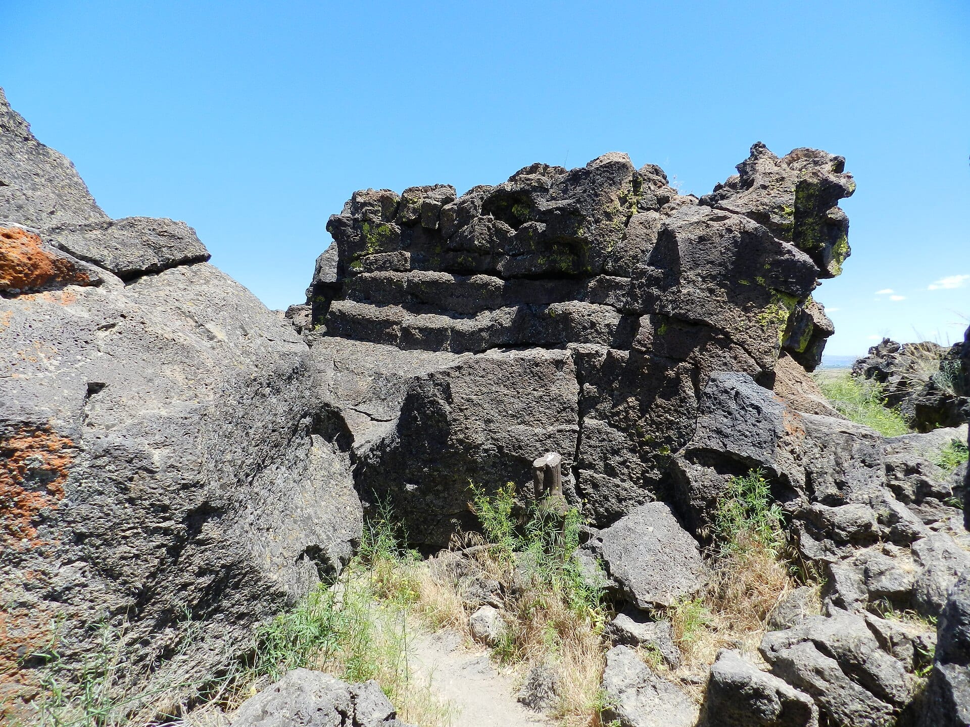 Reference Plate: Natural basalt fortifications and rock trenches inside Captain Jack’s Stronghold, Lava Beds National Monument. Photo by Mercurywoodrose (CC BY-SA 3.0, Wikimedia Commons).
Petroglyph Point — Ancient Carvings Above the Old Lake
On the eastern edge of the monument, a towering tuff cliff known as Petroglyph Point—once an island rising out of ancient Tule Lake—holds one of the largest concentrations of Native American rock art in California, with more than 5,000 geometric and symbolic carvings pecked into the soft volcanic ash rock face over thousands of years.
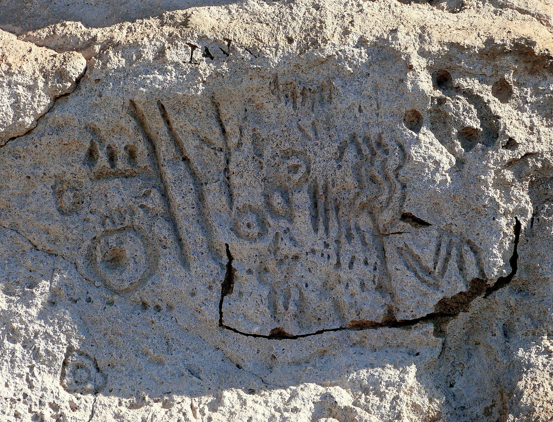 Reference Plate: Ancient rock art panel at the Petroglyph Point Archaeological Site, Lava Beds National Monument. Photo by Ian Poellet (Public Domain, Wikimedia Commons).
Responsible Airspace Note
Please remember that unmanned aircraft (drones) are strictly prohibited inside National Park Service units, including Lava Beds National Monument itself. All aerial surveys for High Desert Drone Adventures are planned and flown strictly outside NPS and wildlife refuge boundaries over lawful public or permitted airspace, using long-lens perspective to respect protected cultural landscapes.