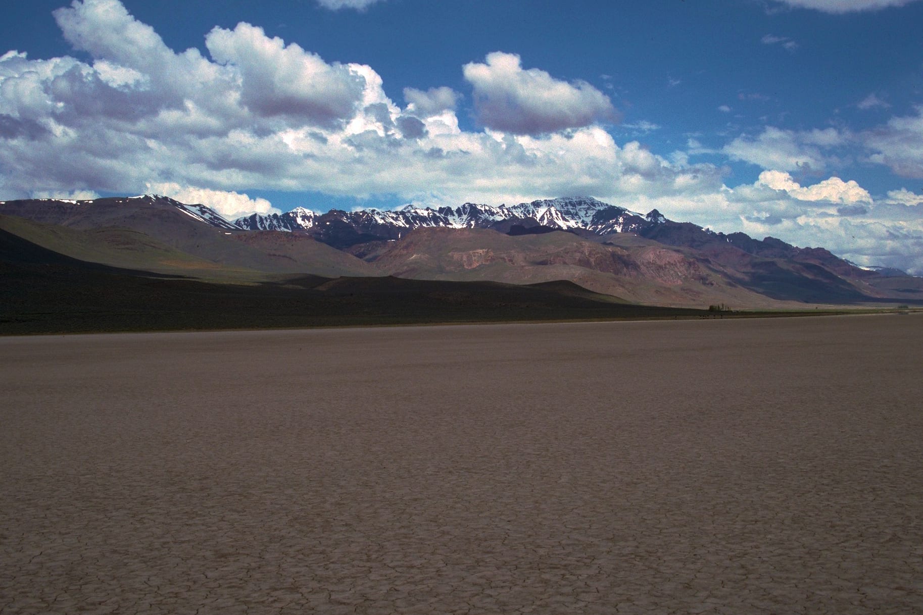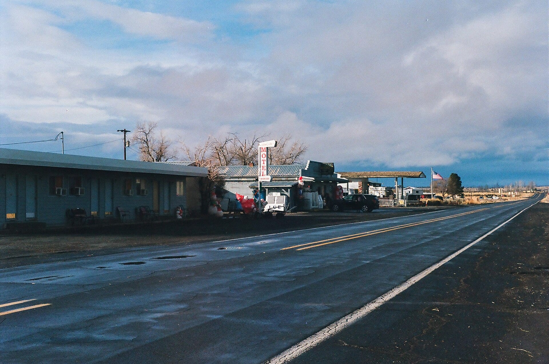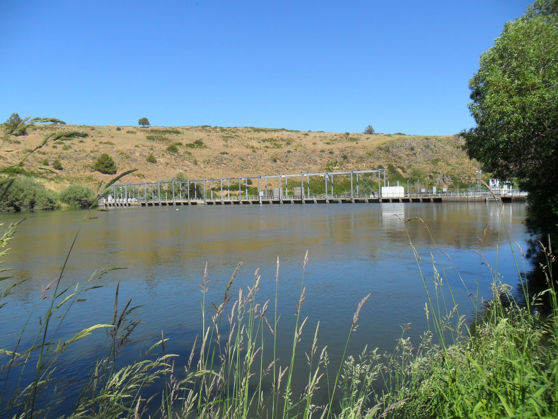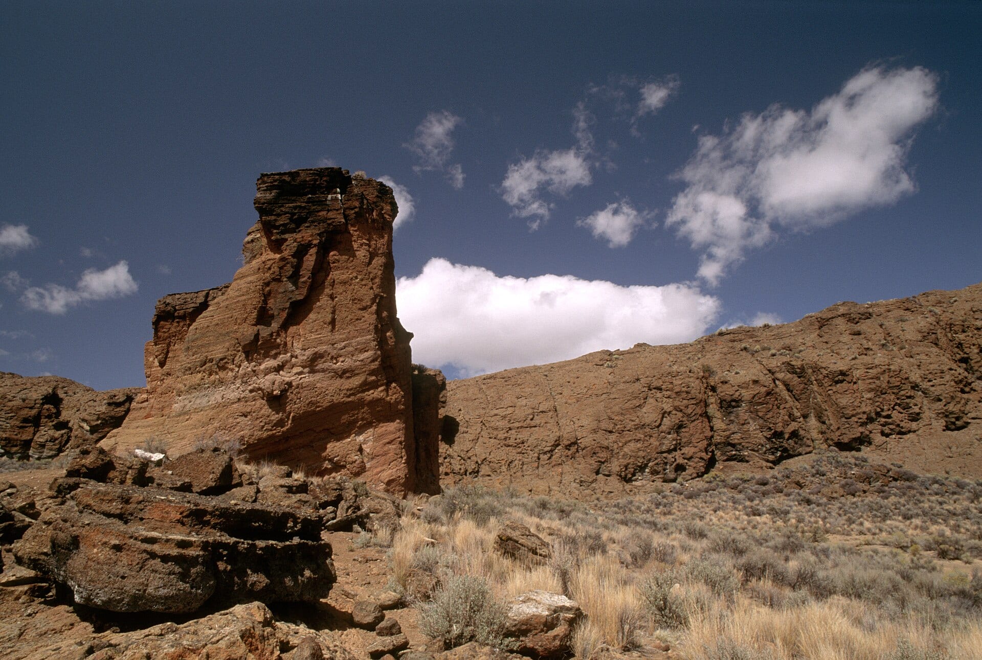
Just north of Silver Lake across a vast, sun-bleached basin of sagebrush and rabbitbrush, a jagged semicircular fortress of dark volcanic rock bursts straight out of the flat desert floor. Rising more than 200 feet above the surrounding plains and measuring nearly a third of a mile across, Fort Rock is a Pleistocene tuff ring—formed when rising basalt magma blasted through the shallow waters of an ancient Ice Age lake that once submerged the entire Fort Rock–Silver Lake–Christmas Valley region.
Wave-Cut Cliffs & 10,000-Year-Old Sandals
Centuries of Ice Age wind-driven waves eroded the southern wall of the volcanic ring into a horseshoe opening, leaving distinct horizontal shoreline benches etched right into the stone cliffs.
Just over a mile west of the landmark lies Fort Rock Cave, where University of Oregon archaeologist Luther Cressman uncovered dozens of finely woven sagebrush-bark sandals in 1938 resting directly beneath a layer of Mount Mazama volcanic ash—radiocarbon dated to roughly 9,000–10,500 years ago, among the oldest dated footwear ever found in the world.
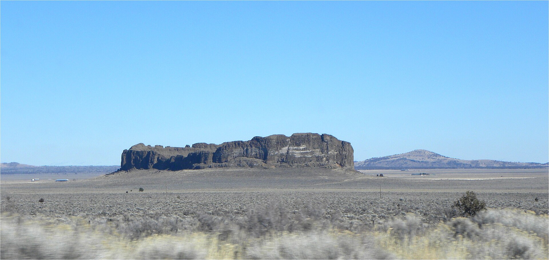 Reference Plate: Wide horizon view of Fort Rock rising out of the flat Pleistocene lakebed near Silver Lake and Christmas Valley. Photo by MARELBU (CC BY 3.0, Wikimedia Commons).
Dryland Homesteaders & the Fort Rock Valley Museum
In the early 1900s, waves of optimistic homesteaders arrived in the Silver Lake and Fort Rock valleys lured by wet-year promises of dryland farming. When multi-year droughts and bitter high-desert frosts returned, most families were forced to pack up and leave behind weathered timber schoolhouses, churches, and cabins—many of which have been lovingly gathered and preserved at the Fort Rock Valley Historical Homestead Museum just down the road.
Together with nearby Hole-in-the-Ground (a mile-wide volcanic maar crater), Crack-in-the-Ground, and Christmas Valley Sand Dunes, the Silver Lake & Fort Rock Outback forms an extraordinary geological wonderland for high-desert exploration.